GSMNP: First Solo Camping Trip & Little River to Campsite 30

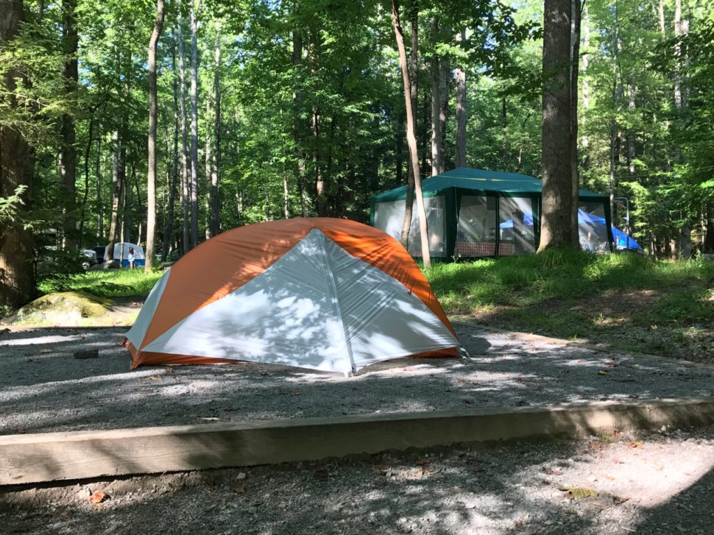
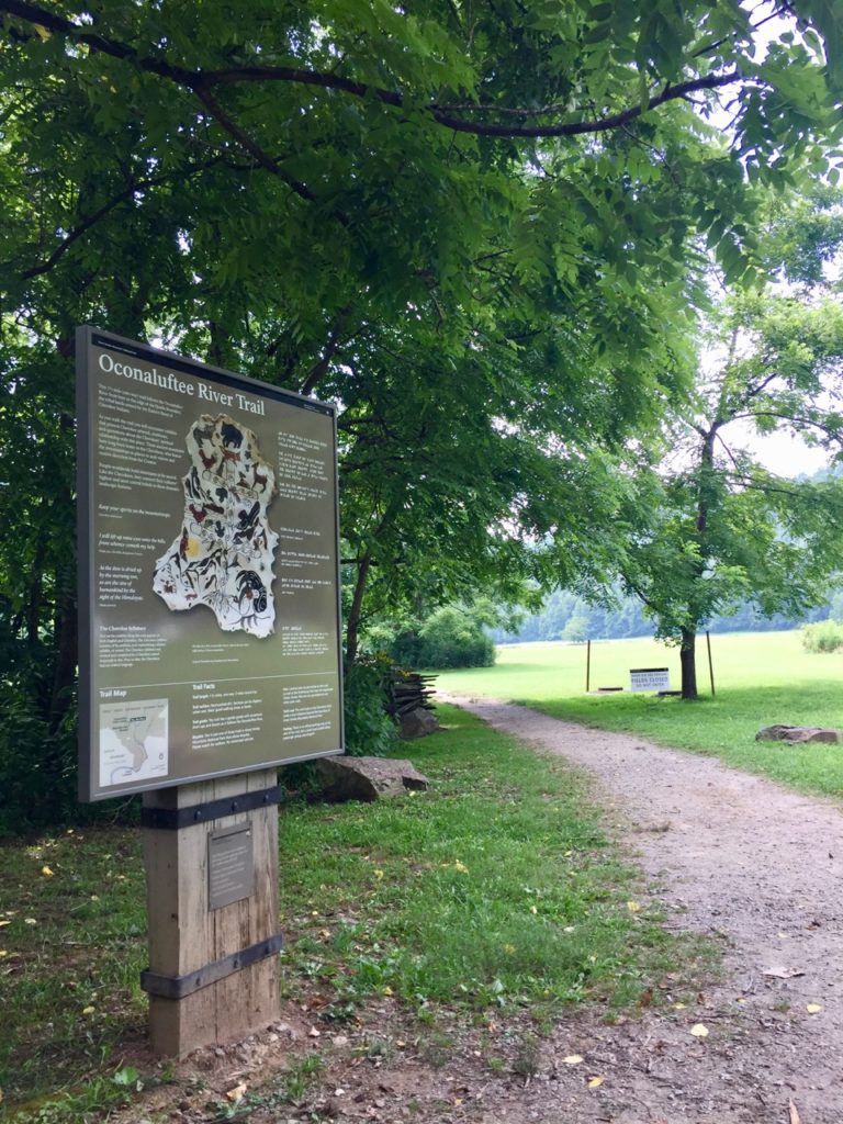
I recently camped alone for the first time in the Elkmont campground in Great Smoky Mountains National Park. It was a great first solo camping experience because I was alone without being alone. I wanted to camp by myself to get over the fear of camping by myself.  Baby steps.  First, a well populated campground.  Next, backcountry. I kept thinking of this quote I read about how we tell ourselves horror stories all the time. Below is what I wrote in my journal while a rainstorm poured on my tent one night. Best sound to fall asleep to.

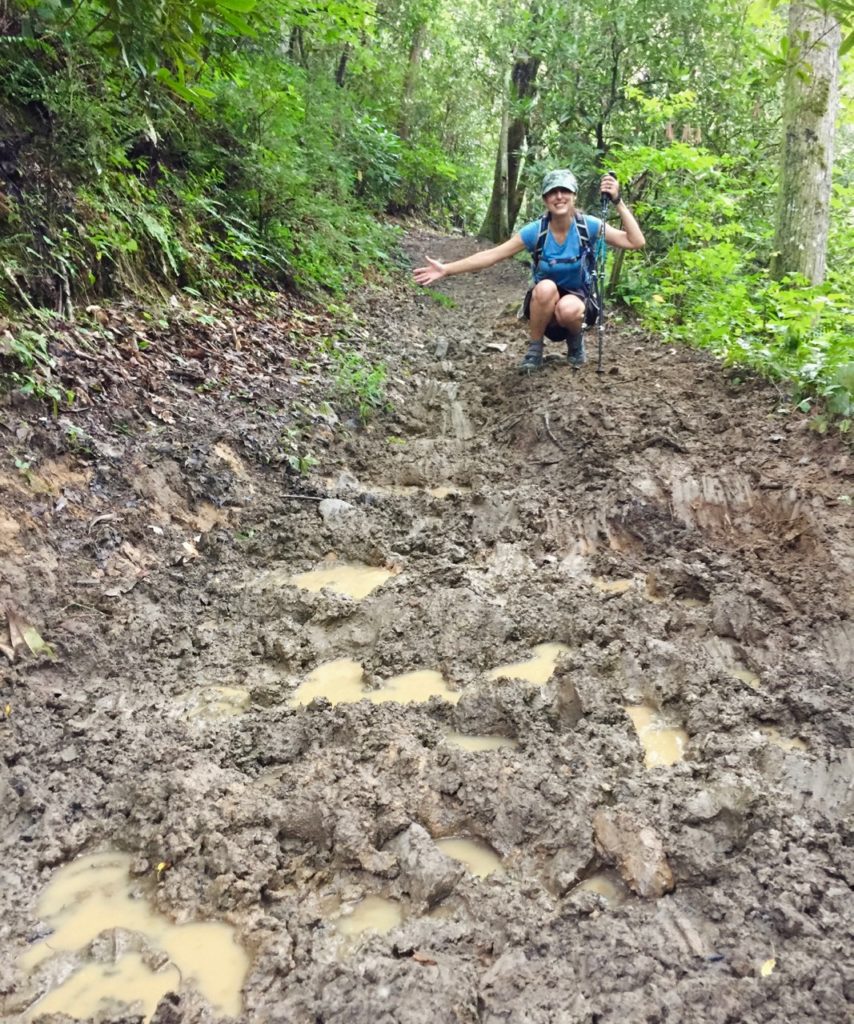
 I just started antibiotics for a sinus infection and have been having all sorts of joint aches lately (I’m being tested for Lyme), so easy miles are on the roster for this weekend. On the drive here I was so nauseous from the meds I had to pull over at a rest stop and dry heave for a minute before getting back on the road. I debated whether or not to turn around and just go home, but I couldn’t give up on this trip.

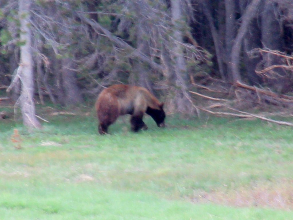
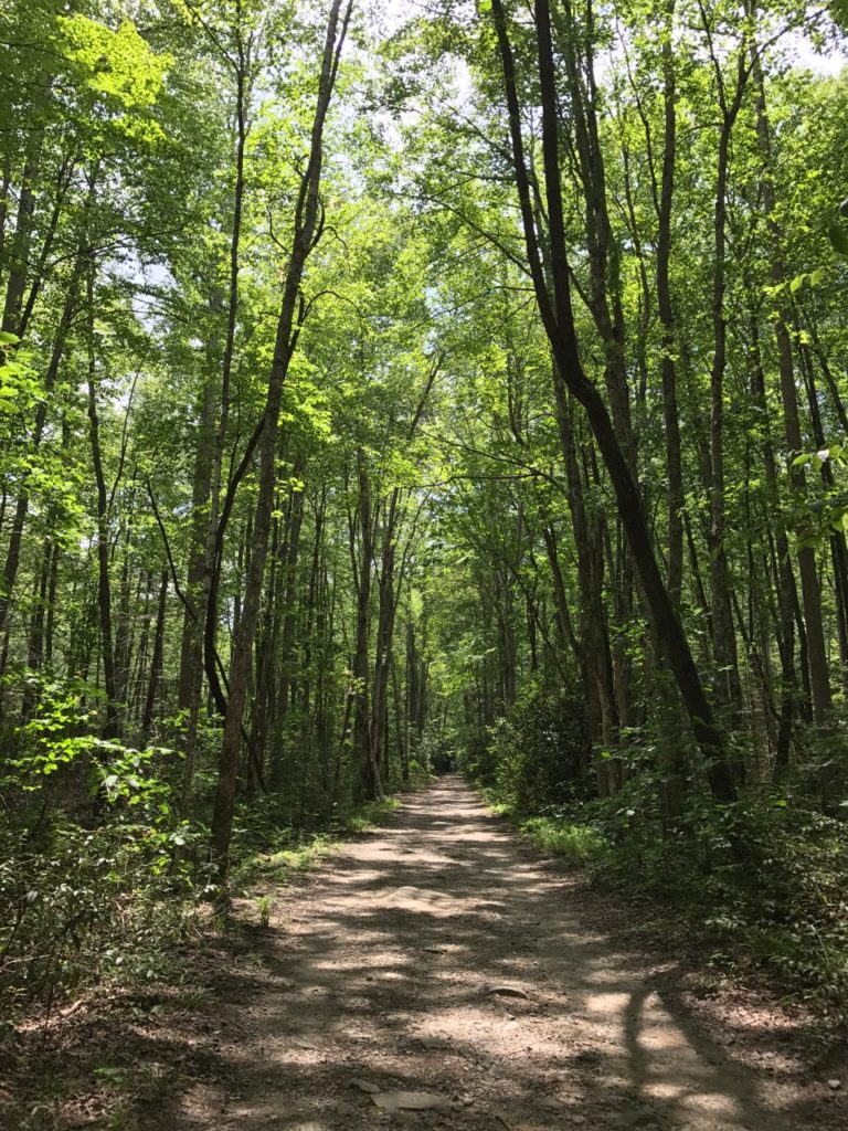
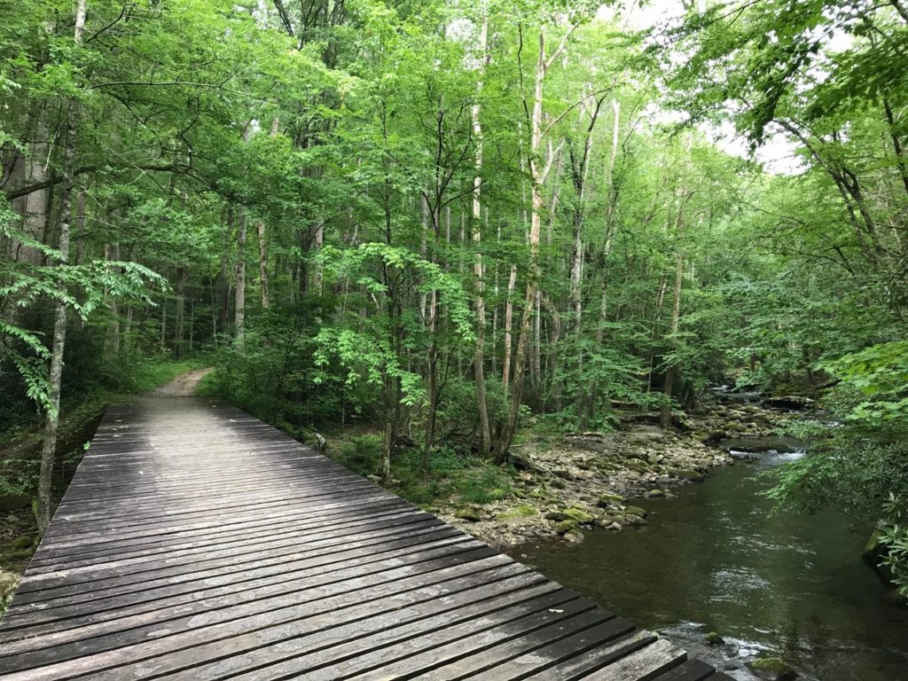
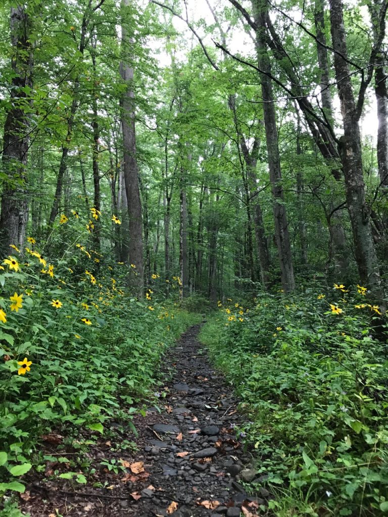
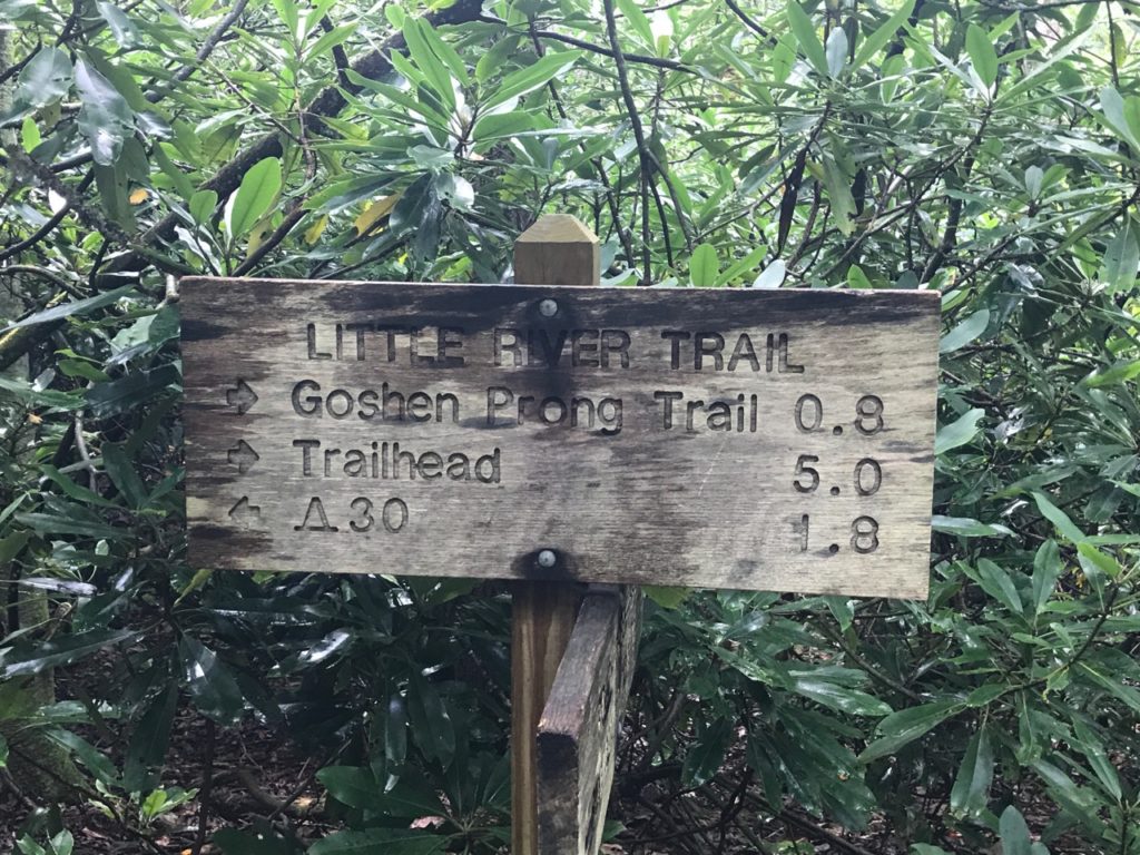
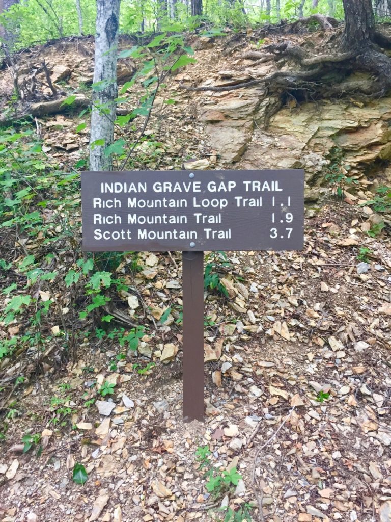
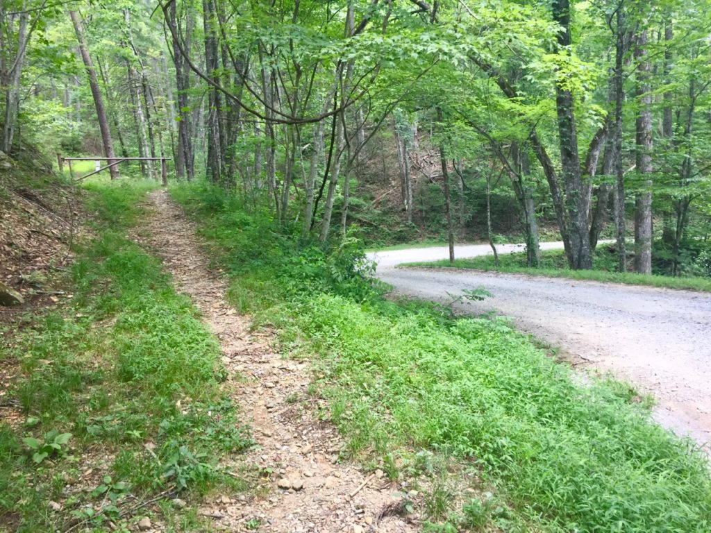
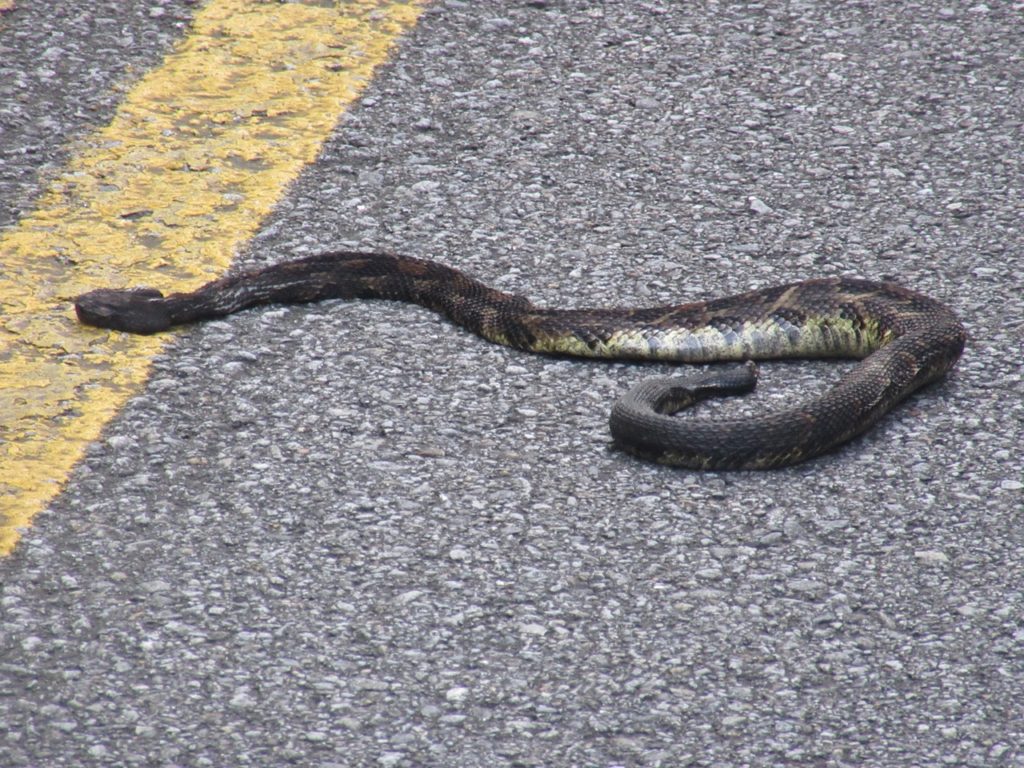
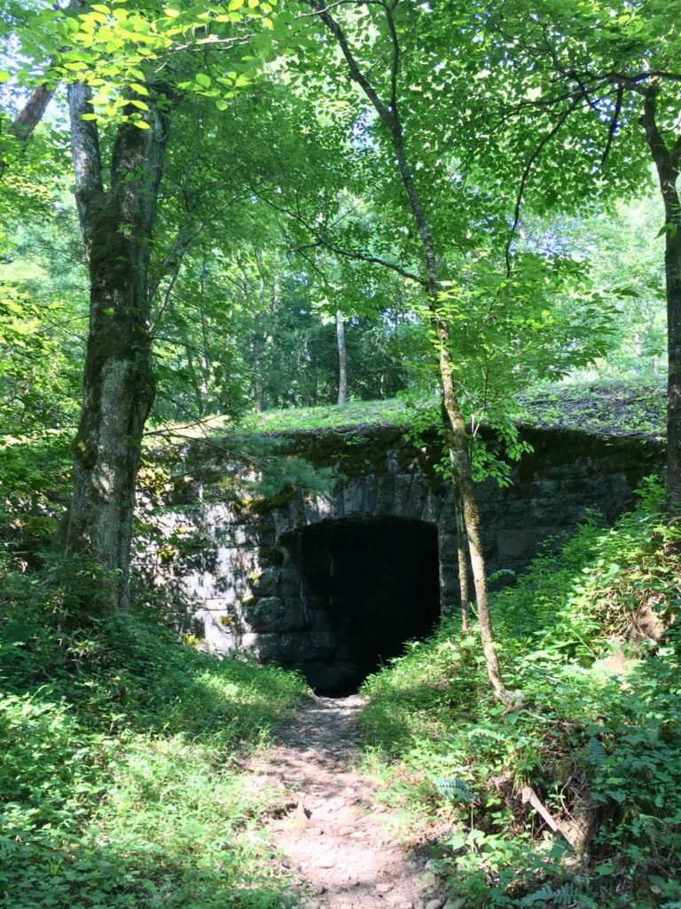
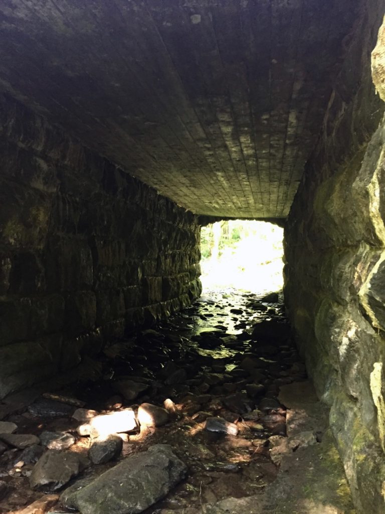
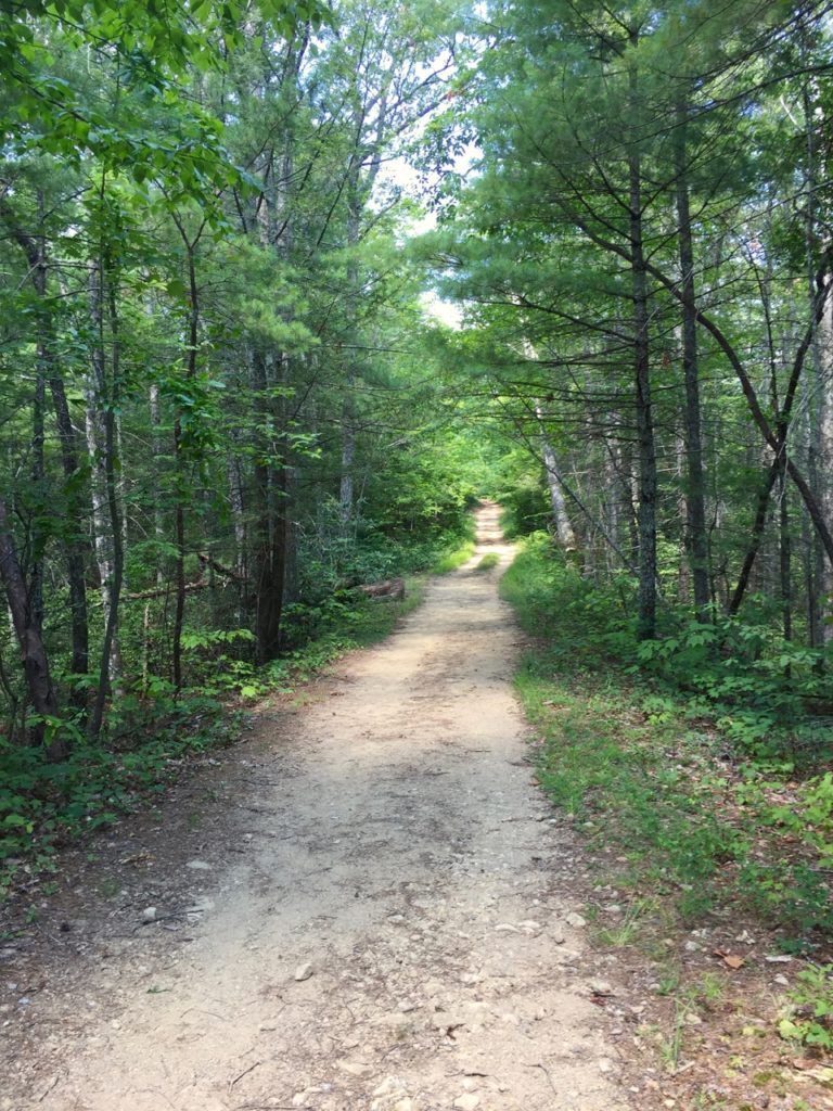
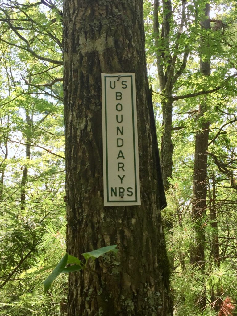
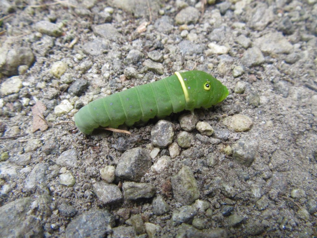
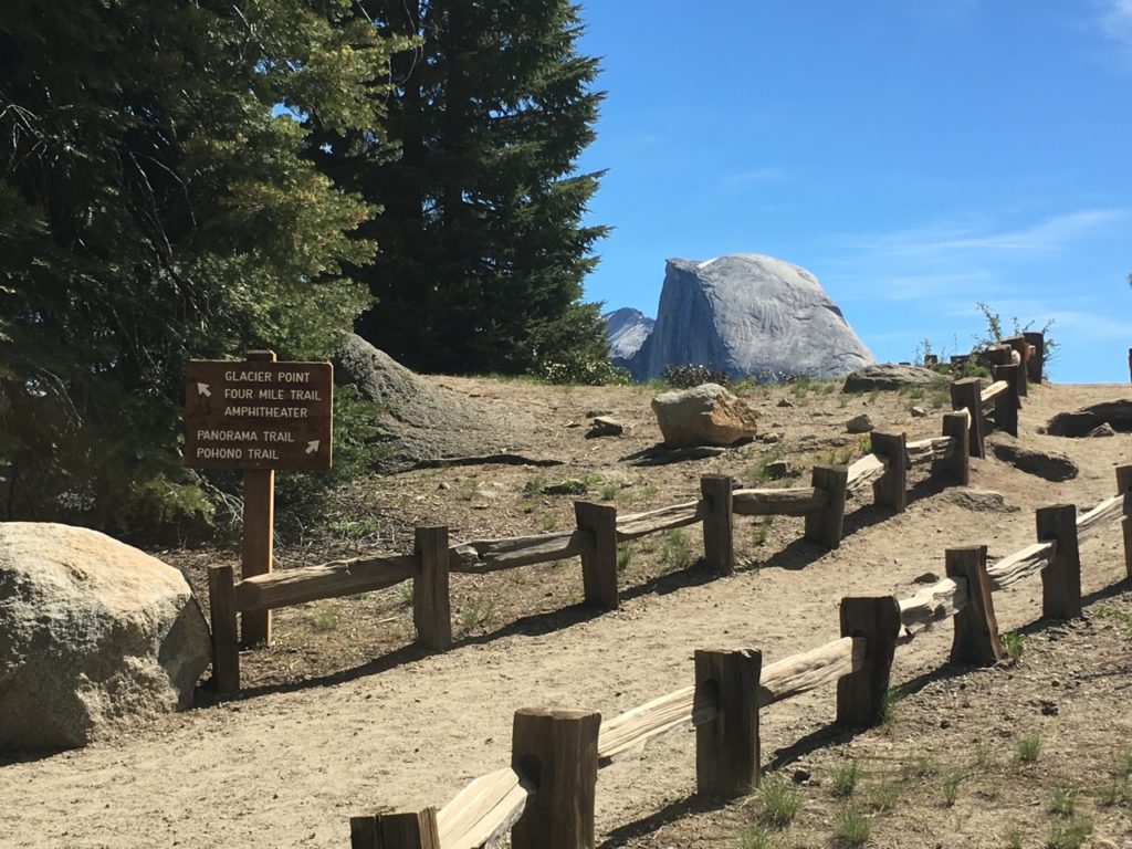
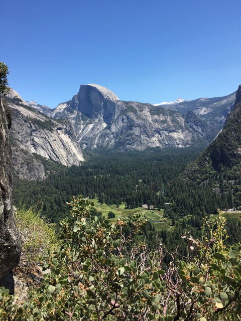
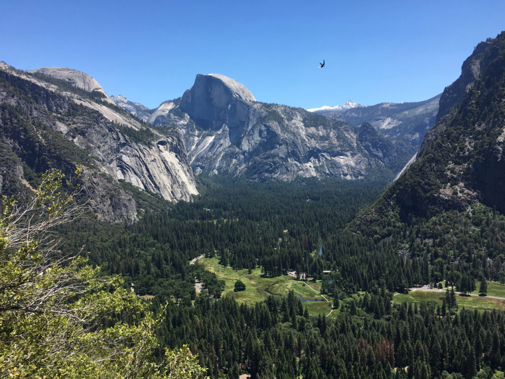
Today on the trail I was a little nervous. I walked to the Little River trail from my campsite and walked all the way to Campsite 30, which is 6.8 each way, a straight shot, mostly flat with some stream crossings. This particular trail is usually crowded because it’s an easy walk that doesn’t take a lot of effort.  Once I passed the Cucumber Gap junction, all the foot traffic dropped off and there was no one else out there with me. The entire way to Campsite 30 and back to that point I was alone, which is about 9 miles of alone in the woods.  It’s often said that hikers are in their own heads a lot, and today felt like a long moment of getting reacquainted with myself. I was vigilant for snakes, eyeing every pile of rooting wood, pushing vegetation aside with my trekking poles, listening sharply for heavy movement in the woods that would signal a bear.

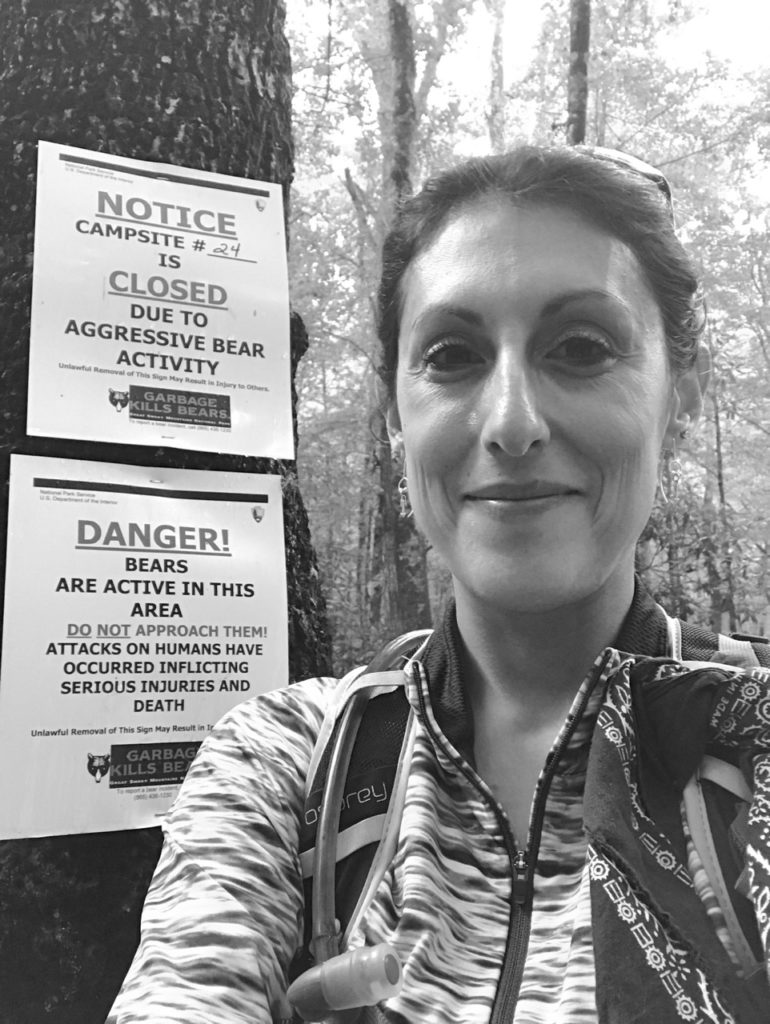
Campsite 24 was closed due to “aggressive bear activity” and there were signs everywhere saying DANGER, which was disconcerting to say the least. Of course my imagination got the best of me and I had visions of some insane bear charging out of the woods. Things were eerily still. I clapped a lot and kept on going. Beyond the site the trail narrowed. I kept on clapping.

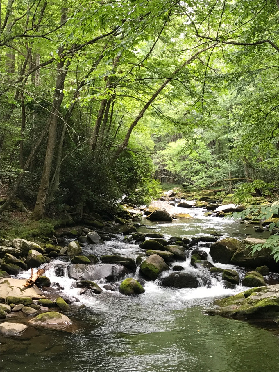
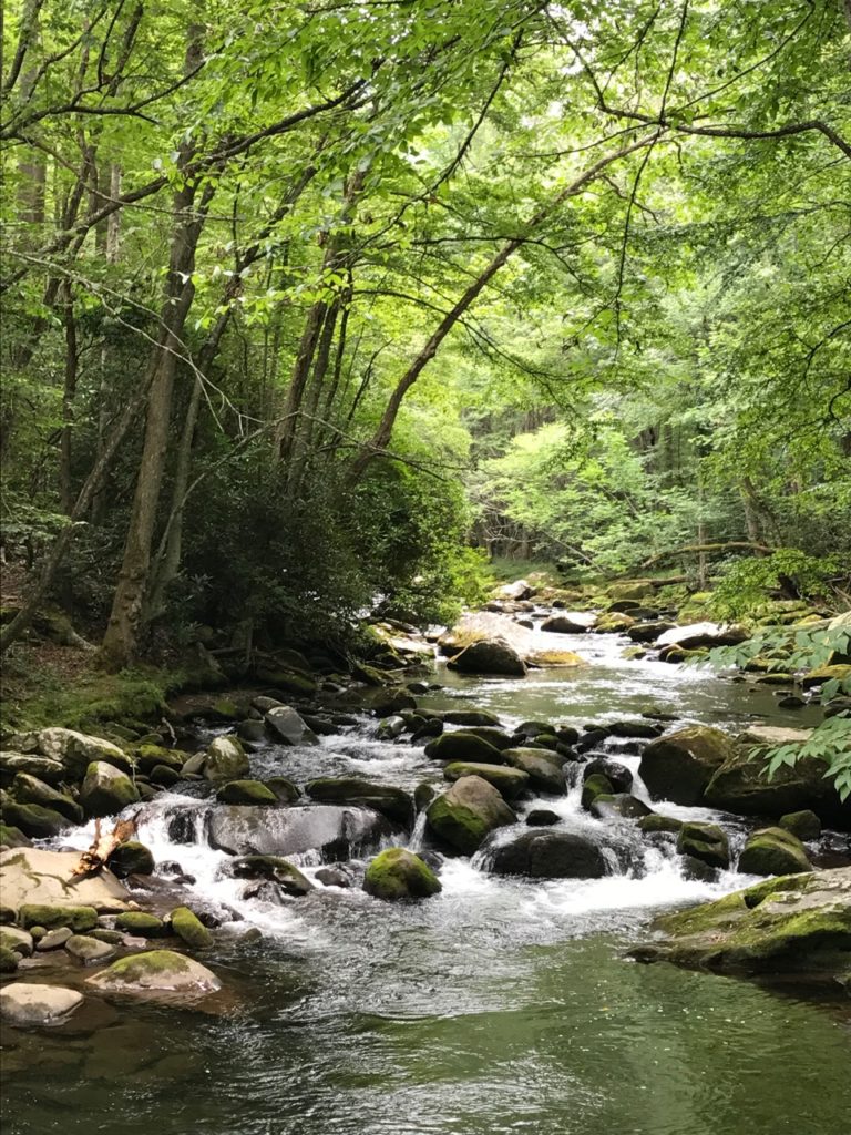
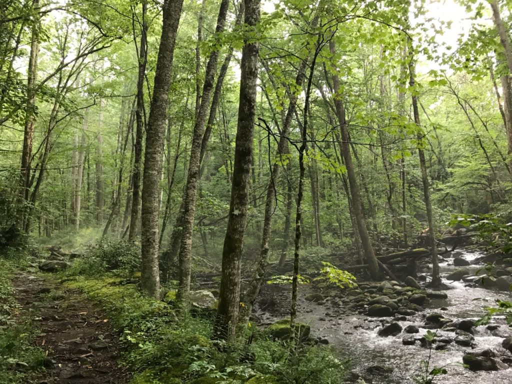
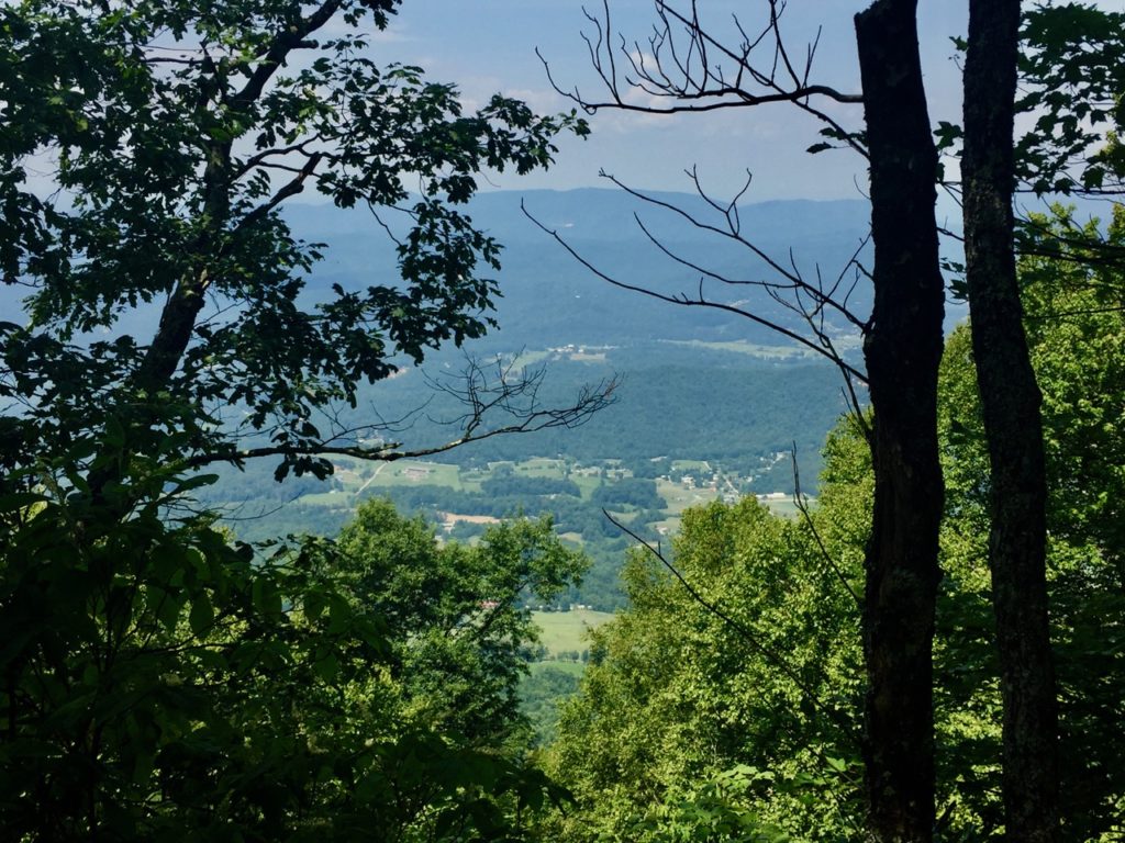
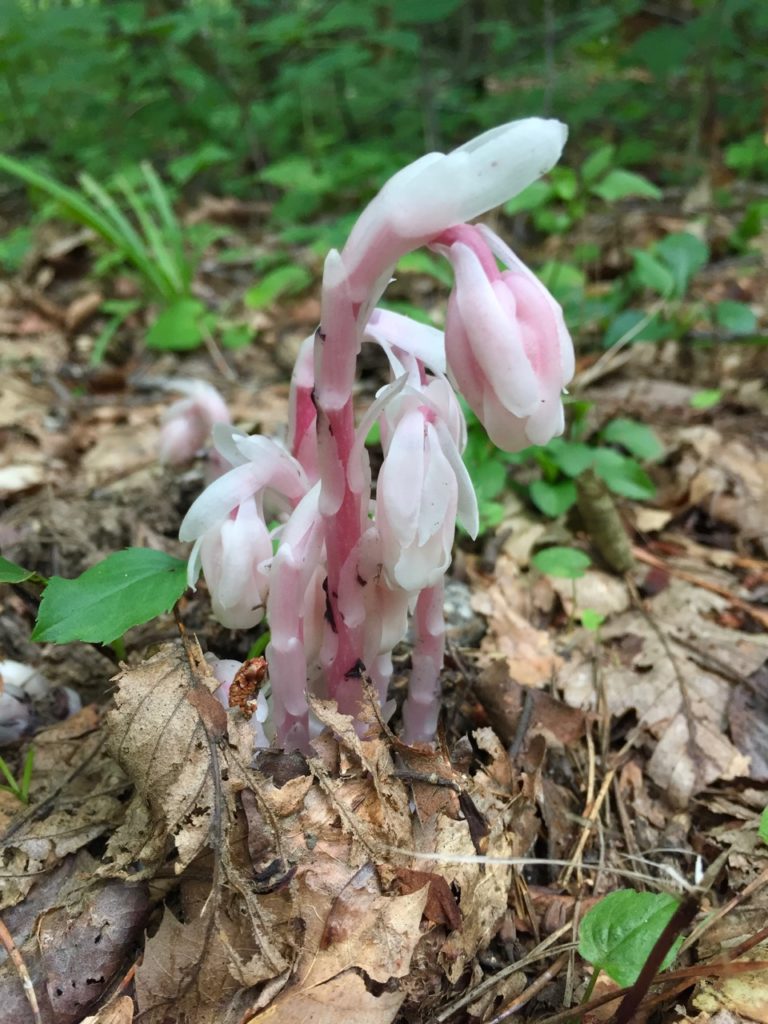
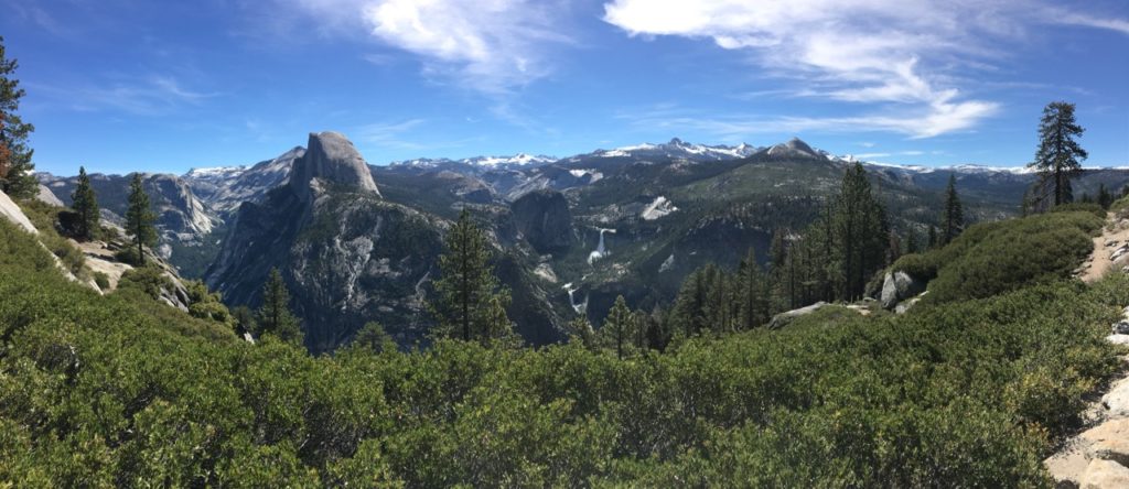
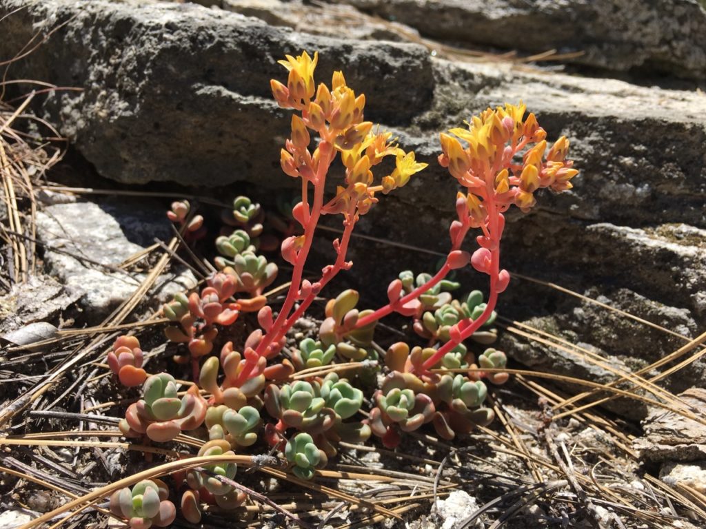
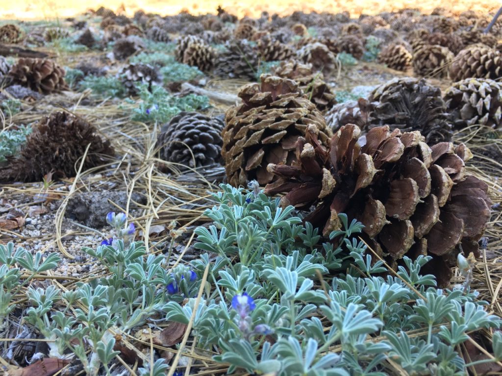
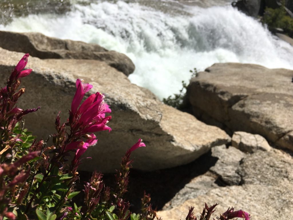
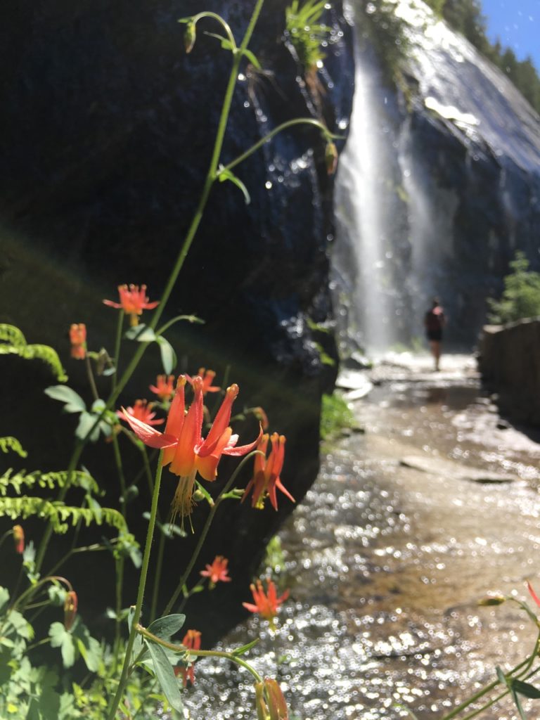
The mist was rising off of the river as I passed, creating an ethereal atmosphere. All was painfully beautiful, deep green, lush and mossy.

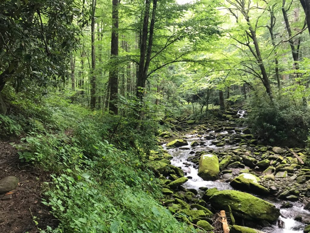
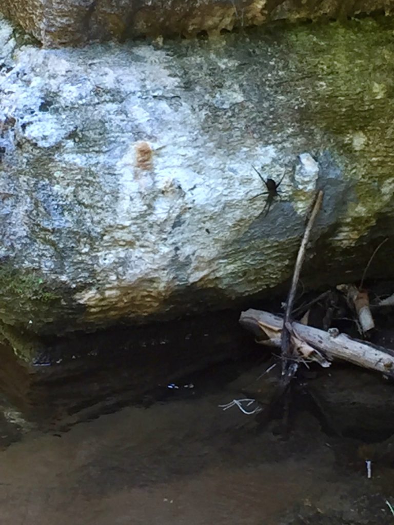
The rocks I had to step over were slick with algae. I eventually came to a stream not too far from Campsite 30, stepped on a rock to cross, and slipped right in the water. My biggest concern was hurting myself this far in with no one around. Thank goodness I was able to right myself, do an injury assessment, and make it across. My shoes squelched with water as I hit the bank. They’re new shoes though and I wanted to see how well they drained when wet, so this was a great opportunity for that. Campsite 30 had no dangerous bear signs, but with the clouds darkening, I didn’t linger for long.  Sure enough, a downpour started not long after I headed back.

On the way out, after I went back past all the DANGER signs and clapped a lot, I sat at the Goshen Prong trail junction and changed my socks. Gnats flew in my eyes, but dry socks felt so wonderful. About 3 miles away from getting back to Elkmont campground the skies opened up for the second time and poured. I had just about dried out from the last thunder shower and here I was soaked again. My rain jacket did a good job, but there’s only so dry one can stay in torrential rain. The only people out on the trail were fly fisherman and another lady by herself who seemed to be thoroughly enjoying the experience of being outside.

            On the drive here I listened to the She Explores podcast which was the perfect shot of encouragement going into this weekend of being alone (but not really alone) out here. It’s an amazing collection of stories about women in the outdoors and there was one positive message after another about how sometimes we have to do things that make us afraid, or do things that push us to be more than we thought we could be.

I feel like I am at the very beginning of a journey in learning about the outdoors, both in terms of skills and industry, and there may be nothing that comes of that learning, but right now in this season of internal restlessness, this has been rewarding in ways I never thought it would be. I didn’t think my body was up to the task of walking a half marathon a day, much less over mountains and ridgelines. I didn’t think I could overcome the fear of loneliness and be out here by myself to camp for a couple of nights without Rob. I love having him along and it’s so much fun when we can have experiences together, but I also want to be brave enough to do this on my own. My parents kept asking if I had convinced Rob to come with me yet, but I was never trying to convince him of anything. He knew I wanted to try this and needed the space to be able to do it on my terms.

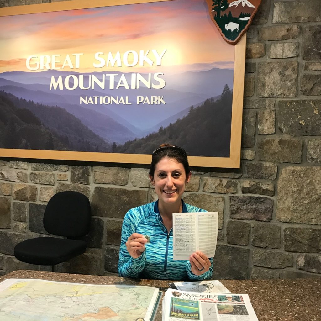
I earned my 250 mile pin today thanks to a long, flat trail that rattled my nerves a bit.  Last year for the NPS centennial, I walked 100 miles in the Smokies.  I wasn’t thinking ahead, aiming for 250 at this point, but I caught the bug and it happened. Getting the pin meant so much to me. All those miles brought me closer to who I am today, a little braver all the time.

Ocanaluftee River Trail

GSMNP: Orchids and Toads and Bears, Oh My!

“Bear. Leah, there’s a bear!” I look up from the trail where my eyes have been scanning back and forth for snakes to see a cub tumbling down a hill in our direction.  I shout, “BABY BEAR, where’s the mama?! We need to find the mama!”  My friend Leann and I are turning in every direction to find the mother and make sure we aren’t between her and her cub.  Suddenly we spot her, then I see a second cub following behind the first.  “We have two babies!!!” Leann pulls the bear spray out of my pack’s side pocket as we shout, “HEY BEAR,” in an effort to scare the little family.  I sound off the $6 purse-sized air horn I’d just bought off Amazon and have never been so thankful for such a gimmicky item.

The mother bear looks up and makes eye contact.  “She saw us, we need to back up.”  We walk backwards down the trail slowly as she puts her head down again to forage for nuts on the forest floor.  The cubs look like they’re in full mischievous play mode, hiding behind trees, running into each other, clumsily hopping after their mother as she moves through the woods.  They are surprisingly fast for what looks like a meandering snack session, so we assess what we need to do.  Do we go off trail and risk stepping on a copperhead or rattler?  Do we stay on the trail and walk past them?  No.  We are too close.  We need to go off trail.  Heading straight into the woods, my eyes are scanning hard, seeing every leaf and stick as camouflage for the venomous snakes that live in these mountains.  Bites are up this year by a significant percentage.  We gingerly step over logs, heading downhill, watching the bears to see that they are still moving away from us.  We cross beneath them and watch their fuzzy backsides round a bend.  All is well.  We stand in the middle of the trail freaking out about how cool that was, how cute they were, oh my God, I wanted to hug those cubs.  I’ve never seen bear cubs before.  This has been the best first half-mile of any trail ever.

Great Smoky Mountains National Park has a program called Hike the Smokies where you can earn mileage toward pins awarded at the 100, 250, and 500 mile marks.  There is also a 900 miler club for those people who hike every trail in the park, a daunting task considering the scope of the park.  However, it’s an awesome goal to shoot for, so why not?  Along the journey of filling out the log book and tracing each completed trail on the map with a sharpie, there are bound to be some duds.  This weekend was full of duds, but even though the trails didn’t offer sweeping mountainous views, being out there was still good for the soul.

There is a book called Day Hiker’s Guide To All The Trails In The Smoky Mountains by Elizabeth Etnier which is an incredible resource to anyone attempting the 900 miler club.  She has hiked every single trail and mathematically figured out how to accomplish the task with the least amount of repetitions.  As a result, many of the routes require a shuttle (2 cars), or contain high elevation-gain loops.  Leann and I had 3 days in the park with a goal of 30 miles, so we wanted to pace ourselves in terms of daily mileage.  The first day we did page 42 # 5: Rich Mountain Loop/Crooked Arm Ridge/Indian Grave Gap plus spur/Rich Mountain Loop for a total of 10.3 miles and 2564 ft elevation gain.

We started out at the beginning of the Cades Cove Loop and after our bear encounter walked past the John Oliver cabin and proceeded on the right fork.  The trail was rocky and went uphill for days.  The weather was hot, still, and humid as hell.  Once we got up onto the ridge we were able to see glimpses of Cades Cove below.  The 1.1 mile spur was a pointless down/up that led to the one-way Rich Mountain Road.

However along that dull stretch of vegetation covered trail we saw some yellow fringed orchids, several toads, including quite a hefty one who we interrupted during a mid-day snack. He was intently concentrating on a grasshopper right by his nose and we stayed to see if he would snap it up, but he was shy about eating in front of strangers.  We also saw this lovely Diana butterfly.

We walked the ridgeline with some small views on either side, through dense rhododendrons until we finally started going down some switchbacks which eventually led us back to our starting point where we saw a luna moth on the groud, most likely after surviving a round with a bird’s beak.  If we had done this trail the opposite way, we would have had a steeper, shorter uphill at the start with a longer, sloping downhill at the end.

After driving the Cades Cove Loop road and grabbing some eclipse sunglasses at the visitor center, we headed back toward Gatlinburg and passed another bear high up in the woods and a timber rattler in the road.  I turned around so we could get a better look at the rattler, but not before someone ran over it.  We cautiously approached the snake and I zoomed in to get this picture.  It was both heartbreaking and fear inducing to see this creature in the road.  They are not known to be aggressive.

The next day we hiked page 26 #2: Turkey Pen Ridge/Schoolhouse Gap to Scotts Mountain trailhead and back/Schoolhouse Gap/Bote Mountain/Finley Cane for a total of 11.3 miles with 1551 ft elevation gain.

We decided to do this trail backwards, parking at the Schoolhouse Gap trailhead (across from where we’d seen the snake) and crossing the road to Bote Mountain.  This trail wasn’t bad at all, but there’s not a whole lot to say about it.  The trail going through some pretty woods and there is low growing vegetation on both sides which frayed our nerves.  At one point we saw a baby snake, but it moved so quickly we couldn’t tell what it was.  The coolest part of this hike was coming to the park boundary and happening upon this gorgeous house in the woods.  I can’t think of a more ideal spot (except by the ocean, of course).  There was a picnic table, swing, hammock, and swing that all looked so inviting, but there was also a cat guarding the place so we knew people could be there and refrained from making ourselves at home.

When we finished the trail we ended up soaking sore feet in the stream near the parking lot and we saw this fishing spider.  This is a crappy iPhone photo because my camera was in the car and I was too scared to get close to this thing.  The horrifying fact about this spider that will give you nightmares for days is that they can remain fully submerged for up to 30 minutes while stalking prey.

For our last day we headed down to Smokemont where we hiked the Stables/Towstring trails and made a loop through the campground.  This was by far the muddiest, most horse-sh*t covered, rutted trail, and we couldn’t wait to be done with it.  The Towstring trail is flat and pretty and we rain into some unexpected friends and saw large trout swimming in the river beside us.

To finish our miles off before it rained, we did the Ocanaluftee River trail twice, observing a tiger swallowtail caterpillar, mushrooms, and bluebird fledglings flitting among fences at the Mountain Farm Museum.

As we headed back to the north side of the park we passed a few elk coming down right on time for their afternoon romp in the lower meadows.  Park rangers guarded their way with flashing blue lights, a police escort for creatures through their natural habitat.

Nevada Falls Yosemite

Yosemite: Vistas & Waterfalls Of The Panorama Trail

Last year in Yosemite, I was awestruck by dynamic scenery on the Panorama Trail.  This year the experience was entirely new in the month of June. The views are even more awe-inspiring since the waterfalls are in full force and colors burst forth from wildflowers.  The entire trail is approximately 10 miles, and starts at Glacier Point.  We weren’t able to get tickets on the YARTS bus because they were sold out two weeks before our trip, but thankfully we had two cars and were able to leave one on Glacier Point and one at the North Pines campsite.  Planning ahead is key if you need to take the shuttle.  I highly recommend this option!  It’s $25 one way and is part of a tour, so the information learned on the way up to the trailhead only adds to the experience.  Make sure to bring plenty of water and a water filter on warm days.  There are no filling stations along this trail, but water is plentiful and can easily be filtered.  By the end of the day, most of us had gone through our 2 liters by the time we reached Nevada Falls.

With a group of 6, varying speeds of pace, and a whole lot of stopping for pictures, this hike ended up taking us the entire day.  Every turn opens up into another sweeping scope of view.  Just a few steps can reframe an image and reveal new features of the varied landscape.  It’s hard not to want to stop and linger at every single point.

photo credit Solomon Davis

photo credit Solomon Davis

We rested at the top of Illilouette Falls just over the walking bridge.

Beyond this point begins a 700 ft elevation gain through a number of switchbacks that are exposed to full sun and hot as blazes in the summertime.  We stopped at Panorama Point to watch peregrine falcons zipping through the air, soaring and diving in tandem.  This is an unmarked trail, approximately .6 miles from the bridge and is worth the detour. Enjoy the views with no one else around.

photo credit Solomon Davis

When we made it to Nevada Falls, the water was raging in torrents underneath the footbridge down to the depths below.  This was my favorite moment of our entire trip.  To be in the presence of such force, such power, such incredible energy, was a humbling experience.

Looking over the edge of the falls I stood entranced by the ribbons of light, misty sheets of water, and gauzy sprays that ricocheted off the rocks.

The Sierras received record amounts of winter snow, making this waterfall even stronger in might than the average year. Standing in the spray I imagined how this place was formed by the very waters still flowing through its valleys and canyons today.  We stayed here for quite a while, eating lunch, resting tired limbs, and soaking swollen feet in the icy water’s edge.  I stood on the bridge, my thoughts wholly consumed by the water raging beneath my feet.  If ever there was peace, it was in that moment as droplets danced in the sunlight over a river urgently wending its way to lower reaches.

Over years of traversing through places of beauty, scenes sometimes blend together, trails resemble one another, and moments must be extracted from memories past.  Standing on that bridge will be a speck of remembrance that will stay with me forever.  That water crashed its way through my heart and reminded me that every mile, ache, blister, and sore muscle is worth the pain to get to places like this.

When we left Nevada Falls and headed down to Happy Isles, cascades of water plummeted off the cliff sides, happily soaking us in the heat.

We opted to take the John Muir Trail back, avoiding the slippery Mist Trail and the crowds below.  From this point, there are a lot of paved switchbacks covered in sand which make for a slippery descent.

I still get chills seeing the Happy Isles trailhead sign.  Someday…the JMT is calling my name!

Yosemite

Yosemite: Yosemite Falls and Sentinel Dome

The use of seasons as an analogy for what we experience in life is a weary one, worn out from centuries of use by humanity to describe the phases of our lives that ebb and flow.  Relationships, families, jobs, the paths we travel on all have seasons.  The most dramatic seasonal changes that I perceptibly take notice of each year are winter turning to spring and summer turning to fall.  The changes from spring to summer and fall to winter are less visually profound, so they happen unconsciously.  My wardrobe is the main indicator of the subtler seasonal changes, a t-shirt taken out of a drawer, a down coat out of a closet.  In our city/suburban lives, seasons are easily overlooked unless intentionally observed.  In nature though, seasons are as vivid as a rainbow against a dark grey sky.

I have now seen Great Smoky Mountains National Park in all seasons.  Each one is strikingly different.  There is no mistaking the icy fronds of Fraser firs in winter, the bursting forth of formerly quiet streams in spring, the vibrant blooms of flame azaleas and rhododendrons in summer, and the autumnal golds, reds, and oranges of deciduous forests in October.  Every month holds a new experience in the varied landscapes of the mountains once tread upon by pioneers and loggers who struggled to tame the land.

Yosemite is no exception.  The last time I was there, Yosemite falls looked like this.

This time its form was as perfect as one could hope for, upper cascading into lower, misting the rocks at its lowest depth while continuing down streams leading to meadows.

We arrived early at the falls to avoid the major crowds and then headed over to the Upper Yosemite Falls trail to Columbia Rock.  We weren’t planning to hike all the way up to upper falls, but wanted to snag some good views of the valley.  The trail begins at the edge of Camp 4 and heads up numerous switchbacks through dense forest with butterflies called California Sisters, whose host plant is the canyon live oak.

The trail is sandy and rocky, so utmost caution is required on the way down.  The higher we climbed the more the valley opened up to us.

When we reached Columbia Rock, the tiny overlook area was already crowded so we headed back down to a small offshoot we’d seen just below to relax and take pictures.

The vastness of Yosemite is difficult for the mind to grasp.  As we stood over the expanse of the valley where we slept below the pines each night, I had the same feeling as when I stand beside the water at home.  Smallness.  The fragility of humanity in perspective to the greatness of the monoliths, the power of the rivers, and the depths carved by glaciers.

I didn’t know it at the time, but we were watching falcons fly through the skies as they dove into the valley below.  My favorite picture from this whole trip is the one where I accidentally captured a falcon in flight.  We saw the birds on several occasions, some flying in pairs in perfect tandem before diving so fast that we lost sight of them as they plummeted.

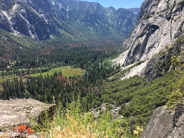
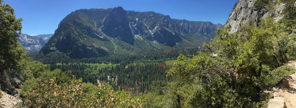
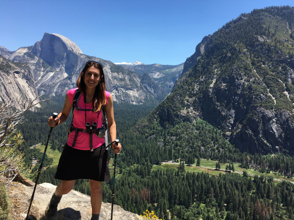
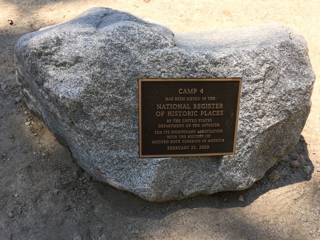
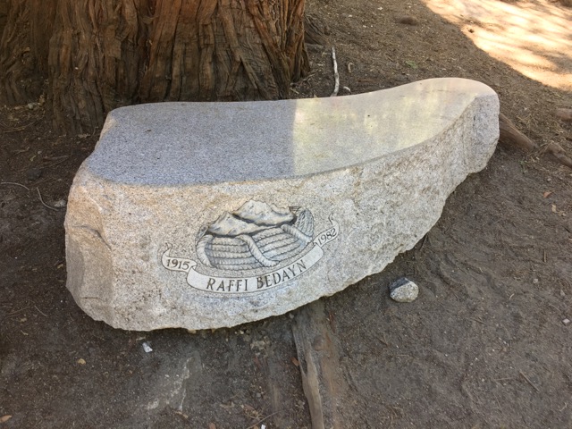
We hiked back down to Camp 4 and refilled our water.  I noticed a memorial in the shade of an immense rock called the Columbia Boulder.  When we got back home I was able to look up some information on Raffi Bedayn.  What an incredible person.  Another hidden treasure we never might have seen if we hadn’t needed water.

We headed back to lower Yosemite Falls for some misty refreshment and to soak our aching feet in the icy stream at the bottom.

After feeling somewhat revived Alicia, Rob, and I decided we wanted to keep hiking, so we headed up to Sentinel Dome.  On the way there we passed Tunnel View just as the sun was playing color games at the base of Bridalveil Fall.

Sentinel Done was a destination for Alicia and I back in September, but we missed a turn-off in the trail coming from Glacier Point, so we never actually reached the dome and walked way past it.  This was a redemption hike for us, and I’m so glad we did the extra couple of miles.  The trail to Sentinel Dome is unimpressive, sandy, boring…about the most exciting thing to see are the tiny lizards darting over sun-warmed rocks.  When we walked up to the back of the dome, again the signage was nonexistent so we weren’t quite sure how to proceed.  To the right, you cross a road and keep going around the side of the dome till you eventually come to a place where you can climb up to the top.  While this was a steep climb, it was by no means treacherous.  There was still snow up there, but the rock was dry and we easily made it to the top.

When we crested the dome, I stood there in shock and eventually cried because the scope of breathtaking beauty that exists on top of that oddly shaped rock is something I want to remember forever.  Half Dome’s side faces Sentinel, the snow covered Sierras provide a grand backdrop, Yosemite Falls is on display in full view, and El Capitan looms in the distance on the other side.  It’s the most majestic 360 degree view anyone could hope for.

Heading back on Glacier Point Road we passed a traffic jam because there was a huge black bear in a meadow right near the tree line.  This is a terrible picture because I zoomed in a lot and he was moving around, but he was my first brown black bear!

Half Dome bids us good day and good night…