Great Smoky Mountains National Park: The Top Of The World At Clingman’s Dome

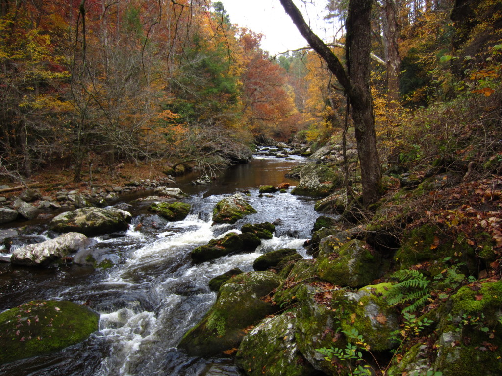
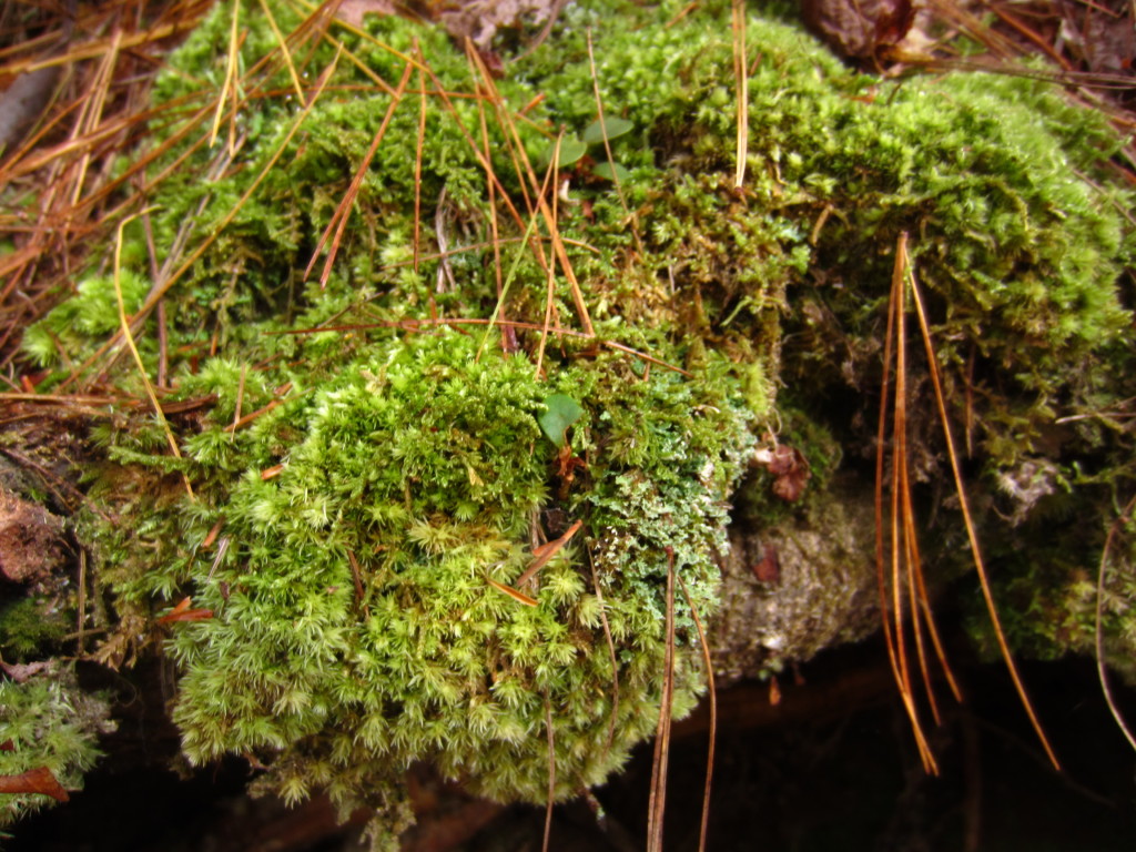
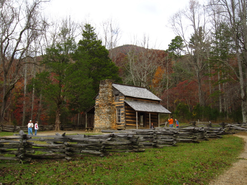
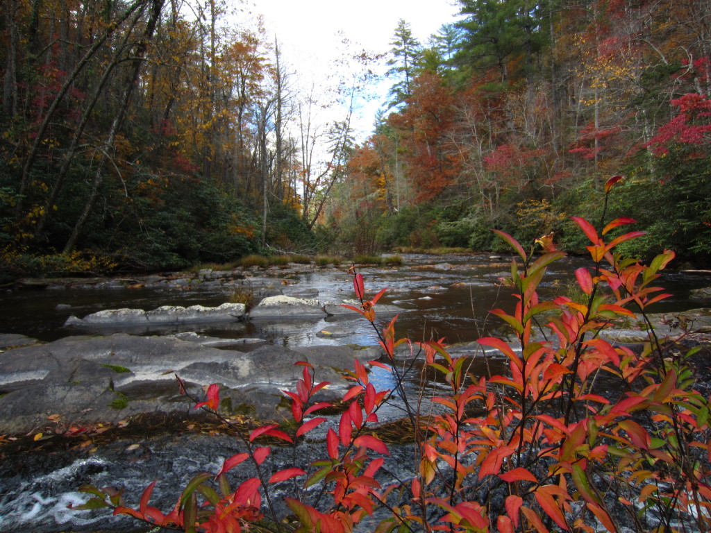
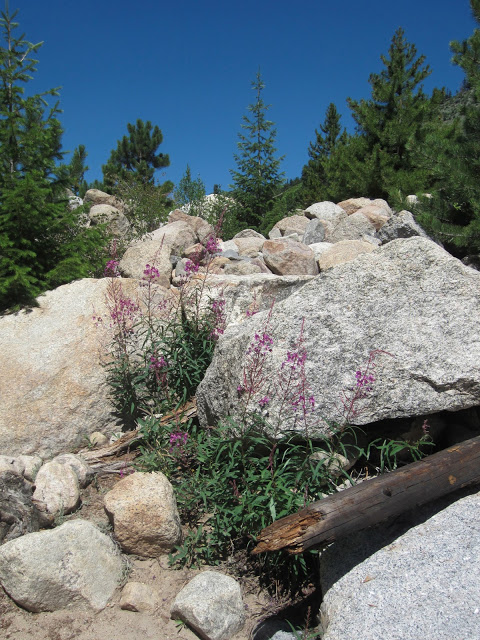
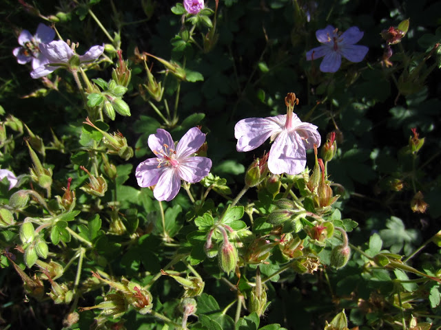
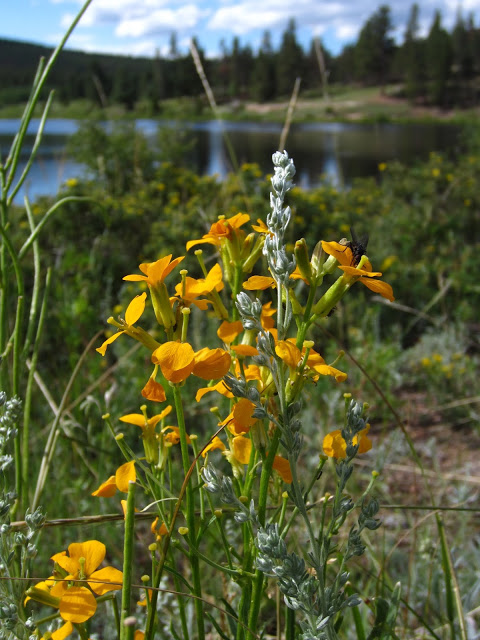
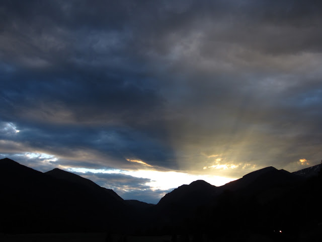
For our our second day in GSMNP, we decided to do the Roaring Fork Motor Nature Trail before heading into the main part of the park.  It’s a six mile loop just outside of town that you can drive through for lovely views of mountains and rocky streams.

IMG_4703 IMG_3218 IMG_3221

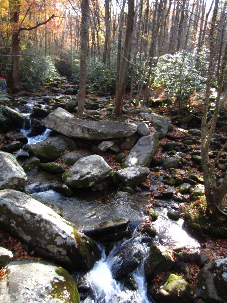
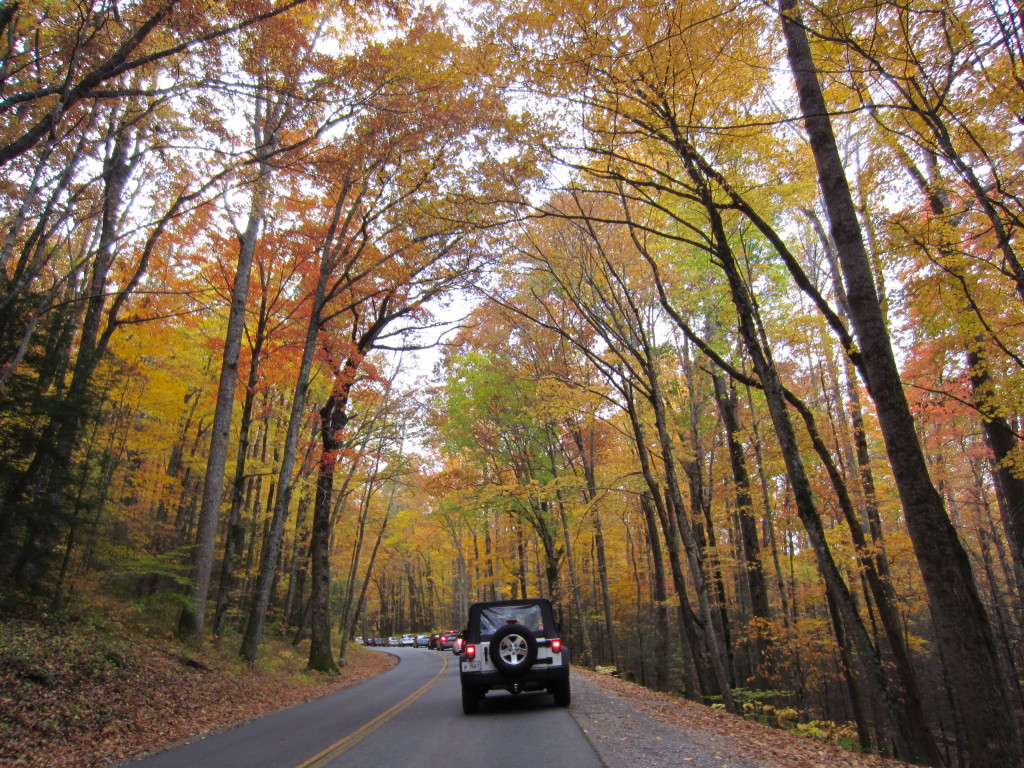
The thing about this motor trail that I didn’t realize is that to see any of the falls you always see in pictures promoting this trail, you have to hike to them.  Be not lulled into the phrase “motor trail” or you will be sorely disappointed that it’s just a very narrow paved driveway through the woods.  As pretty as the woods were, I thought we’d see more.  The speed limit is 10 mph I think, and if you are a New Yorker who gets behind someone who actually drives the 10 mph, you will go mad.

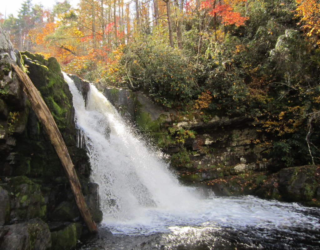
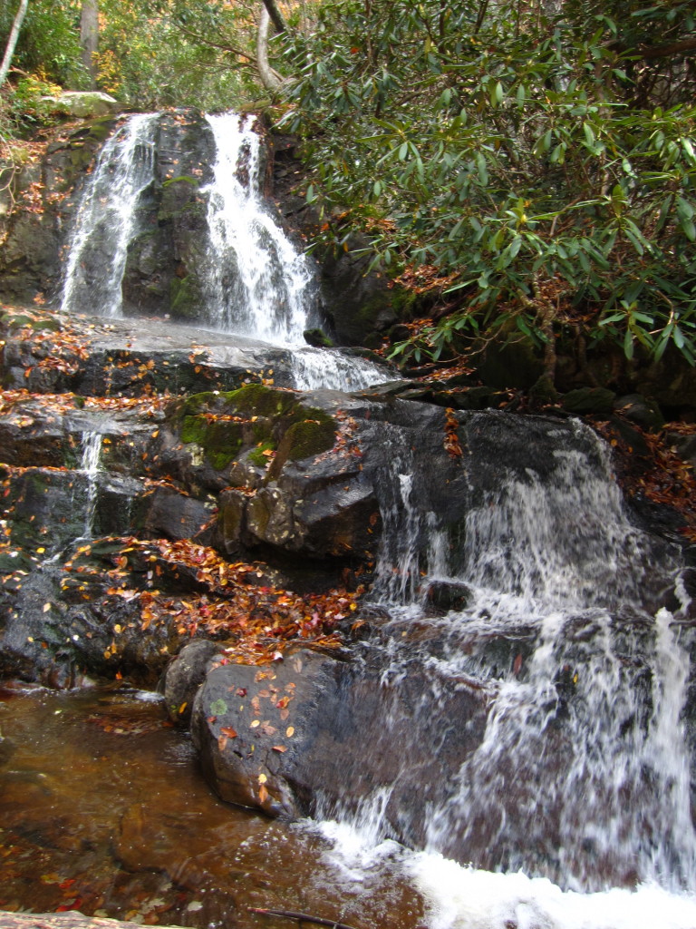
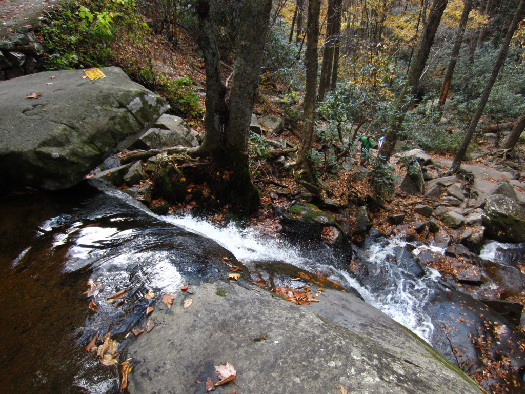
After we ditched the motor trail, we headed straight back into the park for a quick hike to Laurel Falls, as recommended by the nice old man at the visitors center.  Let’s be honest, the Laurel Falls trail is not for anyone who enjoys hiking.  The entire trail is paved.  The people who hike this trail don’t want to hike, they want to throw trash in the woods and let their children careen off the trail, screaming and yelling and throwing Cheetos.  Rob actually started picking up bits of trash on the way back, that’s how bad it was.  In fact, we sped past one poor sod of a dad pushing a double wide stroller up the damn path.  A DOUBLE WIDE!!!!  The trail was quite uphill, so I don’t know how he didn’t perish in the act.

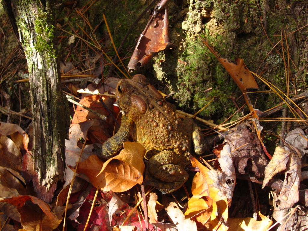
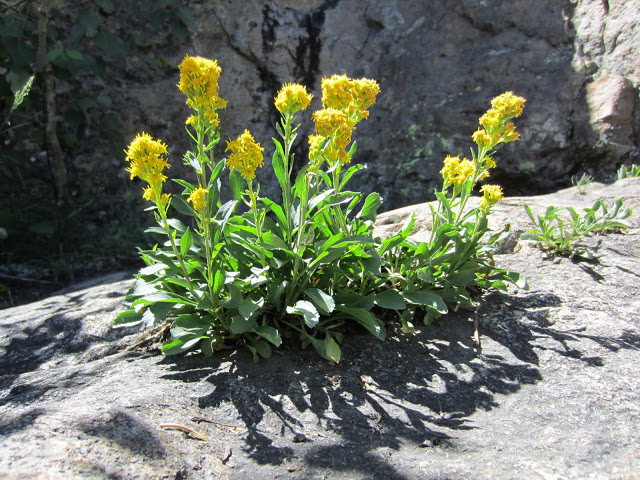
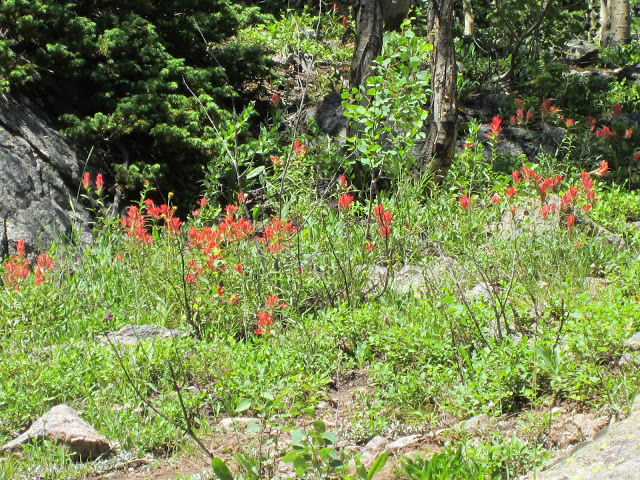
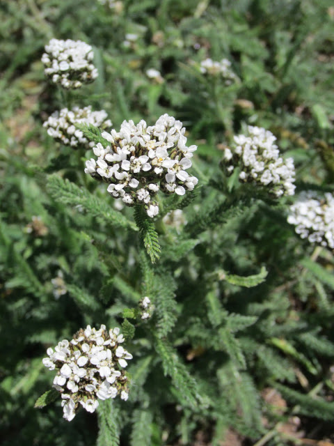
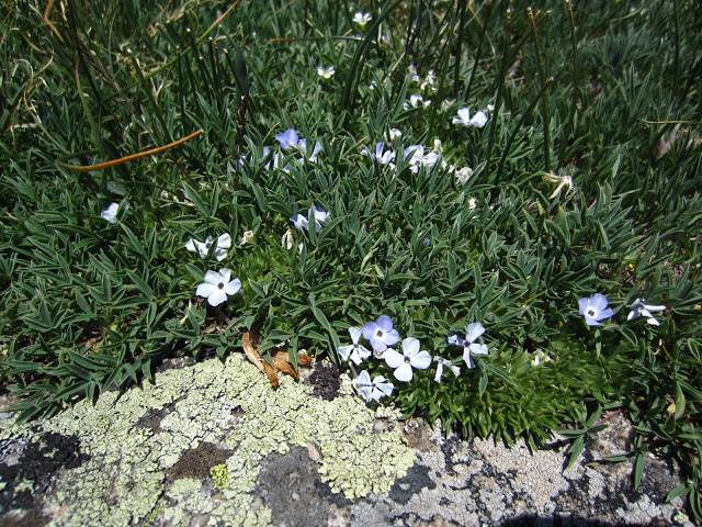
When we got to the falls, it was totally crowded.  There were signs everywhere warning people to be careful because other humans had died from falling, but people still climbed all over the slippery rocks and we actually watched one guy take a nice tumble on some slippery leaves.  The falls themselves were pretty.  I mean, nothing to write home about or anything, especially with the yellow “danger” signs everywhere, but pretty nonetheless.

IMG_3237 IMG_3240

The blatant disrespect people have for nature when they are right smack dab in the middle of it is astounding to me.  If you’re coming to this park and really like to hike on a real trail with less traffic, avoid Laurel Falls.

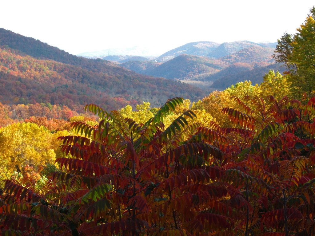
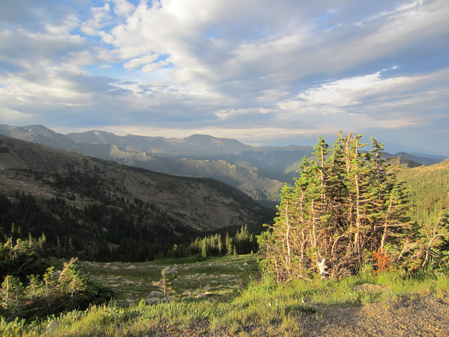
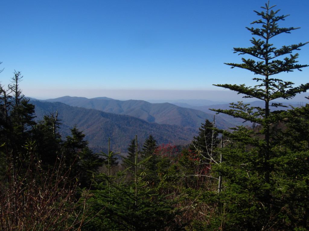
Ok, onto the next gem in the park that we thoroughly enjoyed, Clingman’s Dome.  This is the highest point in the park and in Tennessee.  If you feel like you could stand to lose a bit of cellulite on the thighs, this is the trail for you.

IMG_3249

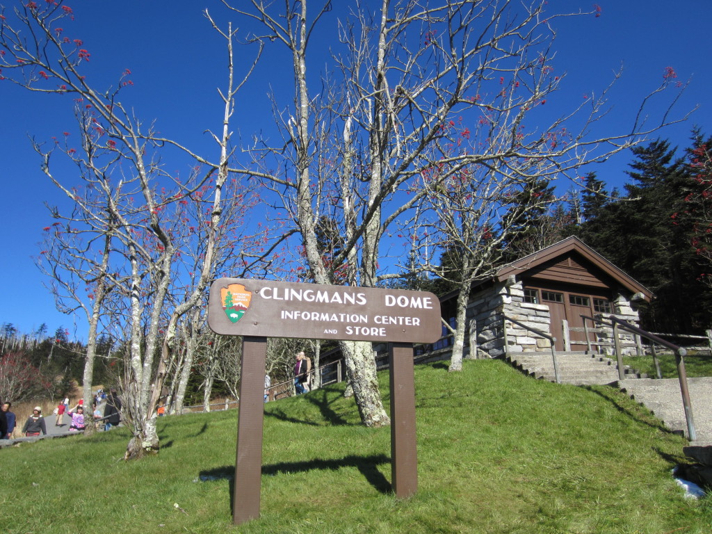
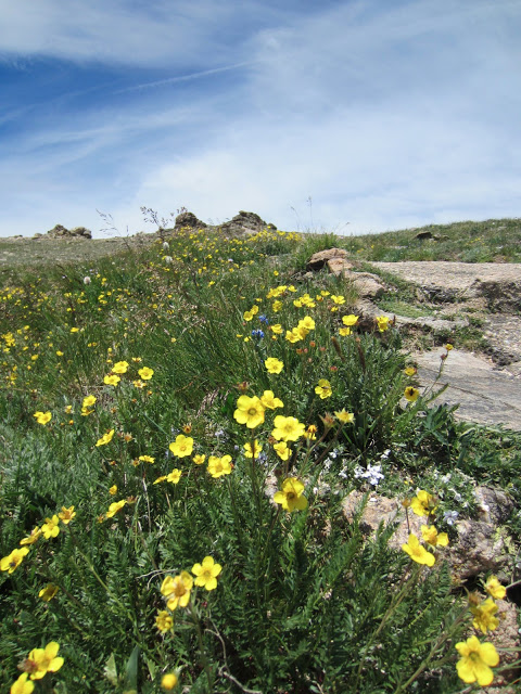
So you drive to the top of the mountain and think it’s going to be a merry little walk to an observation tower.  No.  It’s a brutal incline that will have your legs hating you for days.  But honestly, it was worth every painful step.  The view on the way up is lovely and is worth admiring for minutes at a time every ten feet or so, this way you can catch your breath.  When you get to the top of the hill, you still have an icy winding ramp to navigate up to the tower.  People were hanging on for dear life.  One kind man decided to tell me “that side is slippery” while I was in the middle of sliding my way up.  Oh, thank you, I hadn’t noticed.

IMG_3260

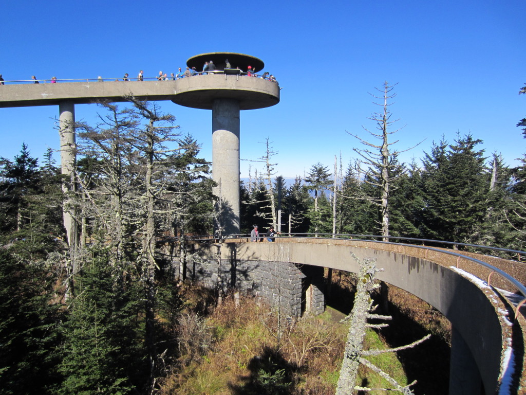
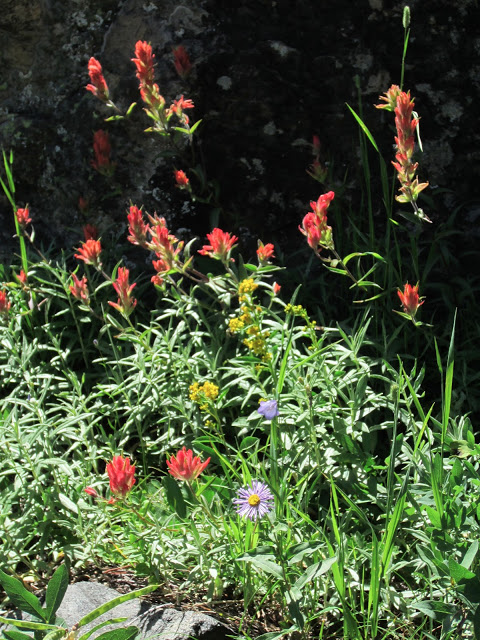
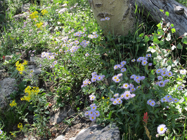
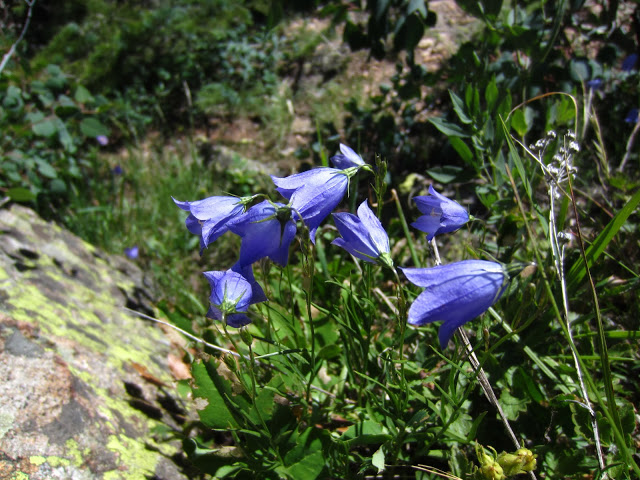
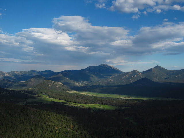
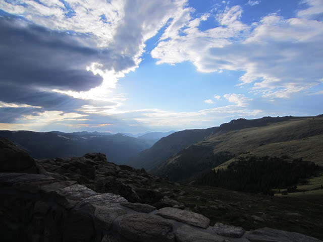
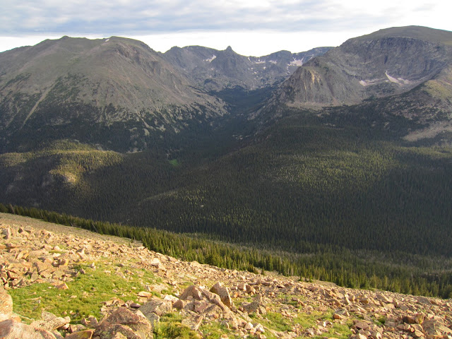
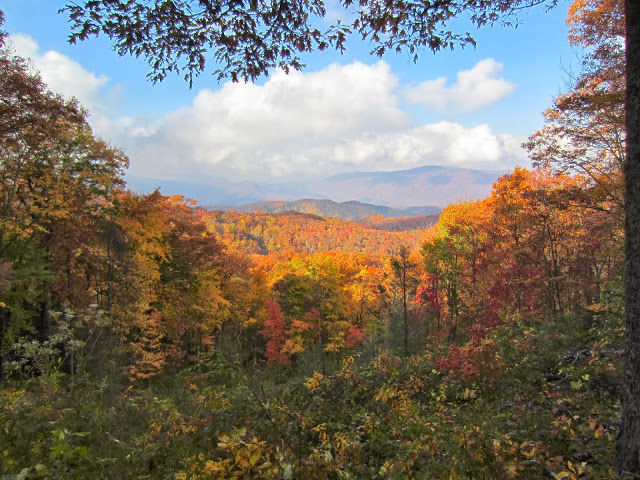
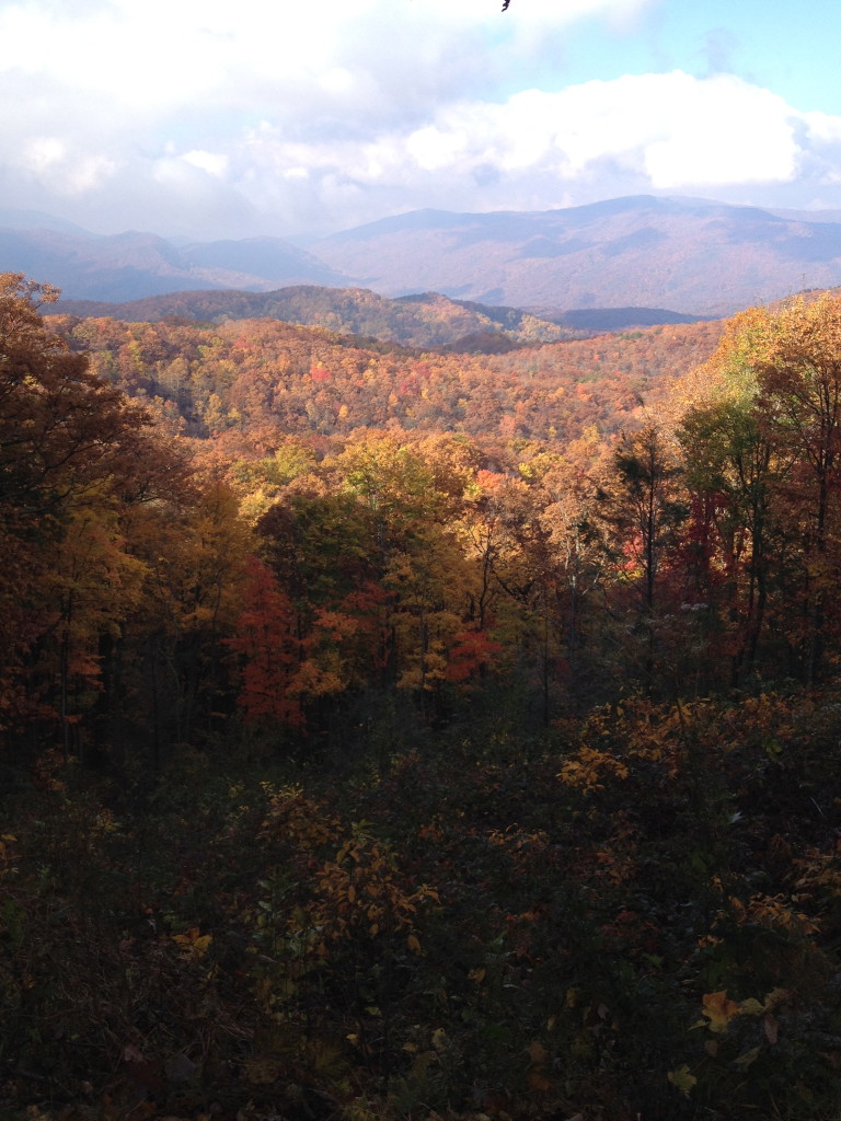
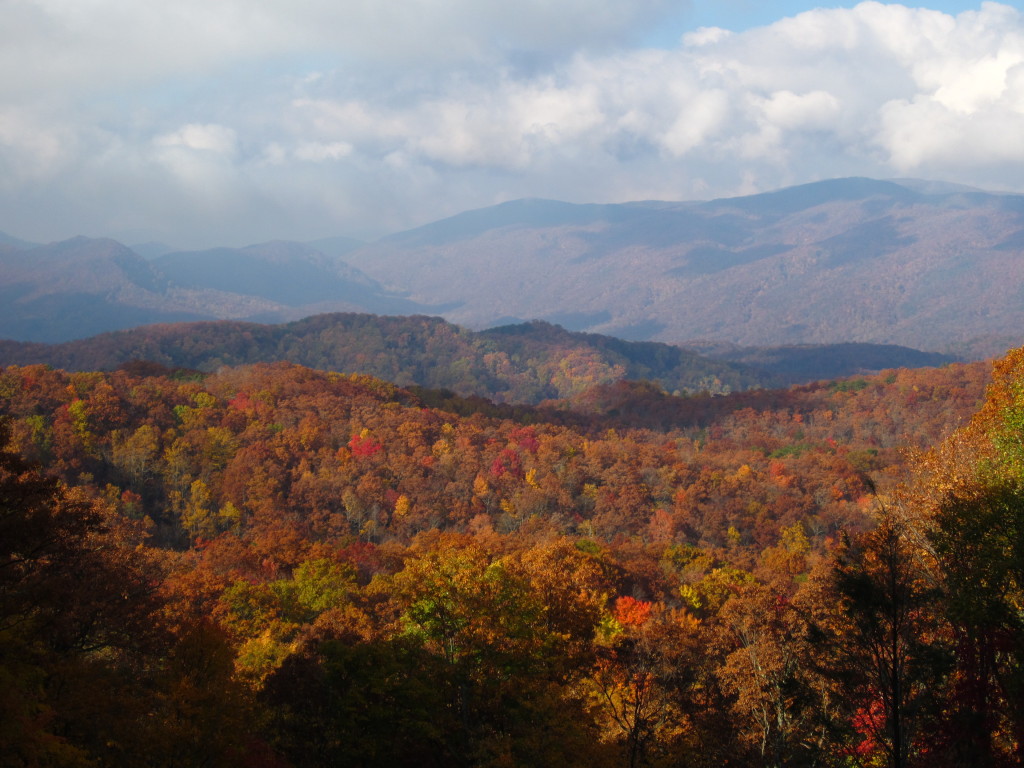
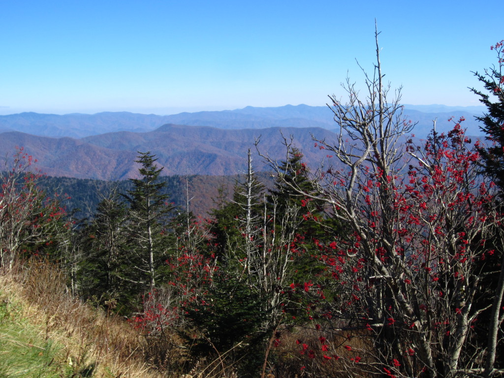
When you get to the tower, your breath is stolen by the view.  360 degrees of rolling mountains and Fraser firs.

IMG_3265 IMG_3268 IMG_3270

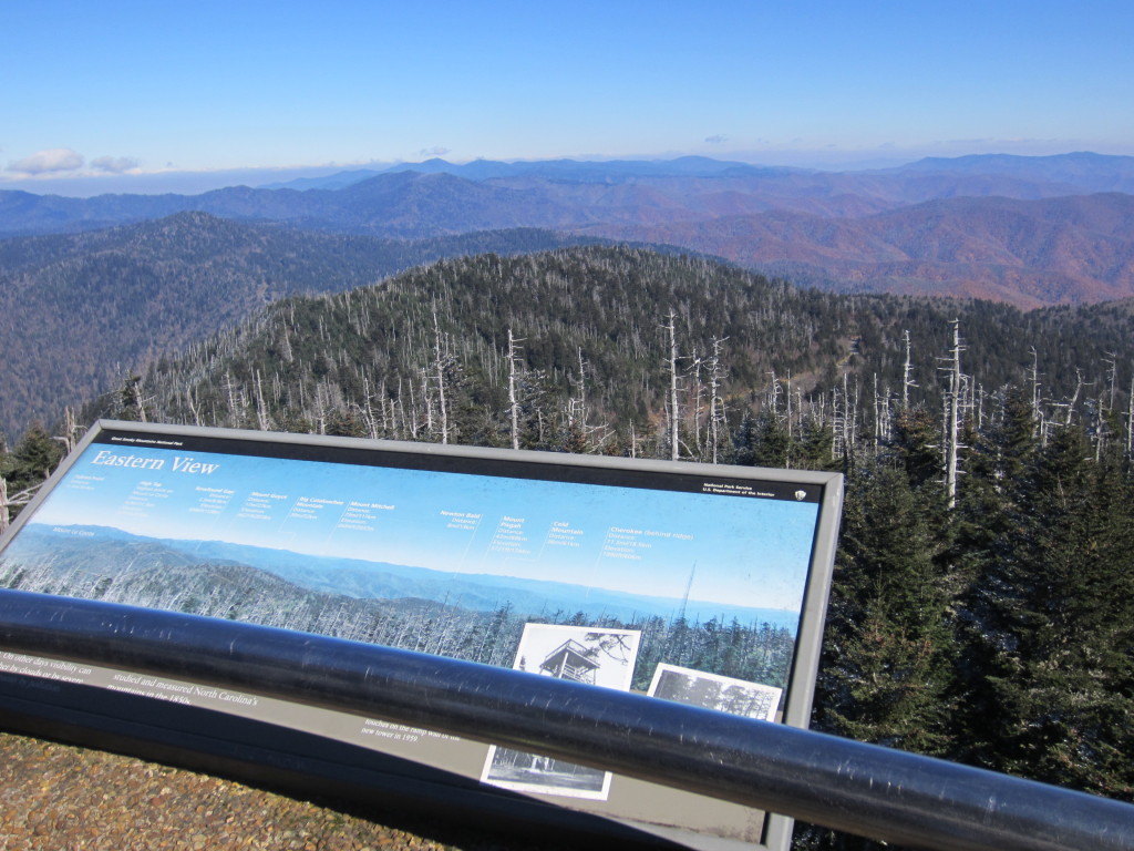
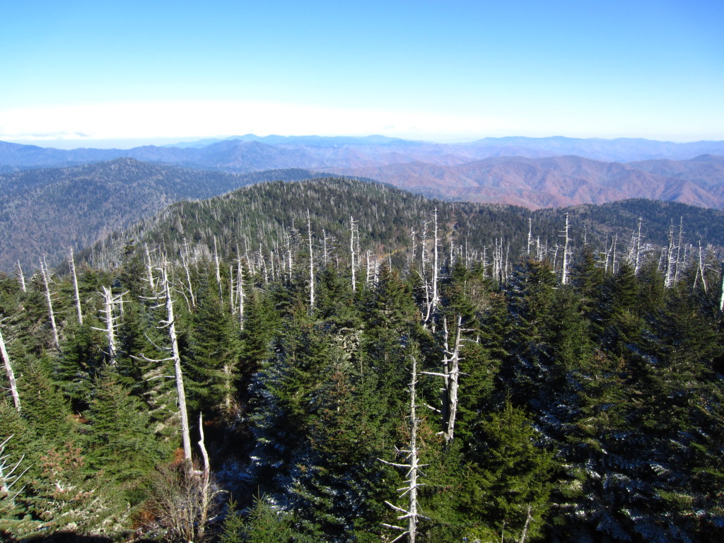
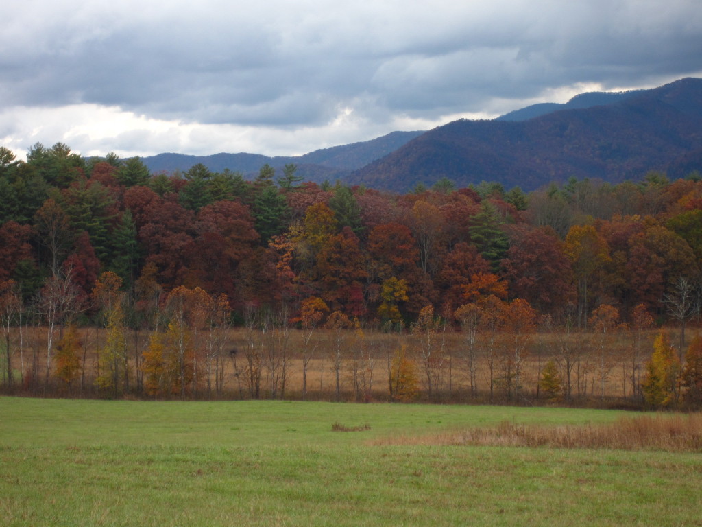
It was like an ocean of mountains.  The horizon stretched into infinity and layers upon layers of smoky blue mountains reached to the edges of the earth.

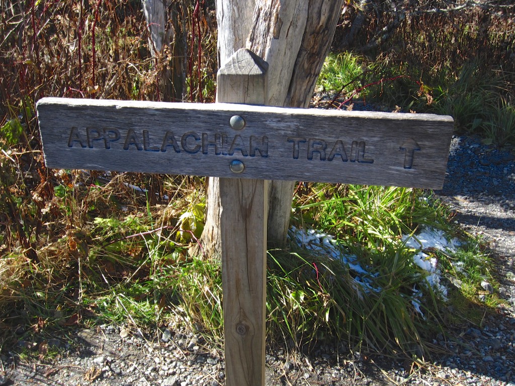
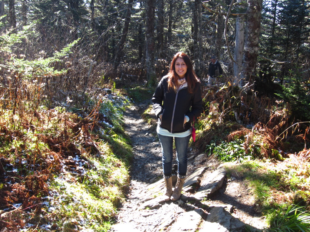
We slid back down the ramp and came upon a sign for the Appalachian Trail.  Someday I want to hike this trail…well, a decent part of the trail.  I mean, let’s not get crazy.  As awesome as it would be to pull a “Bill Bryson” and write a book about it, there really isn’t anyone at this point who can improve upon A Walk In The Woods.  Rob and I walked onto the trail a bit.  It was very exciting.  There is something incredible about the Appalachian Trail that demands respect and inspires awe.  The trail stretches 2,180 miles from Georgia to Maine, and to see this small piece of it in the middle of these magnificent mountains was really thrilling.  Of course if I am ever going to really have a go at this I need to hit REI for some real shoes and leave the Betsey Johnson boots at home.

IMG_3279 IMG_3278

We took one last look at the view and began our descent on fumes.  The gas light came on just as we were heading down, so we tried to coast a bit.

IMG_3284

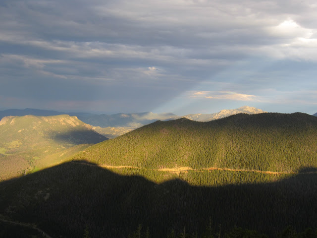
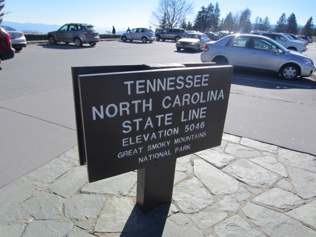
There was one more stop we wanted to make at the Newfoundland Gap overlook at the state line.  At this stop there were plaques explaining how the Smokies got their name.  Apparently the vegetation lets off a smoky blue gas into the atmosphere.  Over the years, pollution has contributed to the haze one can see over the range, and as nice as a perfectly clear day would be, it was much more mysterious to see the blue peaks in the distance.

IMG_3295 IMG_3291

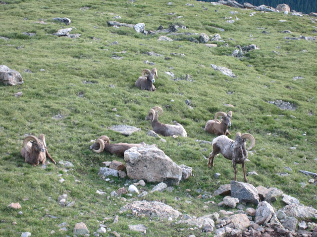
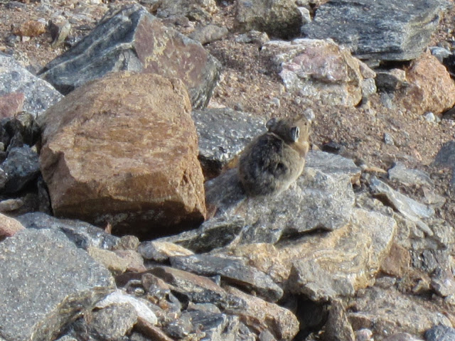
We didn’t see a black bear.  I was dying to see a bear.  Everywhere we went we overheard people talking about seeing bears and showing friends their cell phone pics of the bear that was 6 feet away from them.  I can’t complain though.  We had such a lovely time in the mountains and it was beyond refreshing to get out of town and feel like we were in another world for a while.  Hopefully someday we’ll come back here and explore some more of the trails.  After all, there are 800 miles of them.

Great Smoky Mountains National Park: Getting Out Of Tackytown And Into The Woods

 Rob’s birthday is coming up and I wanted to make a memory as opposed to struggling to find him a gift he might not use, so I thought it would be fun if we went up to Great Smoky Mountains National Park to go hiking and see some Tennessee fall color.  On Friday night we arrived in Gatlinburg.  The first time I was here was in my freshman year of college and I remembered it as being the most horrendously tacky place on earth.  My memory had erased the worst part of getting to Gatlinburg: going through the armpit of the tourist industry, Pigeon Forge.  I think the place is disgusting.  It is the antithesis of everything beautiful and true, the worst kind of tourist consumerism.  Pigeon Forge is a highway of neon lights advertising psychic readings, every embarrassingly “country” show you can imagine, cowboy boot outlets, mini golf palaces, and as Rob so aptly put it, the place looks like a carnival got stuck there.  When we arrived in Gatlinburg, the scene changed a bit.The town grew smaller, the neon lights grew slightly dimmer, and signs for the parkway began to appear, along with the brown and white signs I have grown to love that signal you are in the middle of government protected nature.  We took a walk through town at around 11pm just to see what there was and since we were some of the only people out, it seemed rather tame.  During the daytime when the tourists emerge, it’s pretty much my personal traveling nightmare.  The people who frequent the town of Gatlinburg are not the earthy types you normally find in towns that border national parks.  The clientele is more that of a traveler barely energetic enough to make it from one Ripley’s Believe It Or Not attraction to the next fudge shop prior to buying an airbrushed t-shirt.

When you get out of town, the parkway leads you straight into the park, and Rob and I were enamored with the fall color and the pristine woods.  All of it seemed even more glorious after leaving the stifling confines of a town that seems an affront to the nature that surrounds it.  We stopped at the Sugarlands Visitor Center to get a map, some directions, and a plan for the day.  We decided to drive through Cades Cove and hike to Abrams Falls.

IMG_3048

I’ve never been to Cades Cove, but a friend said I had to see it and I’m so glad she did.  The 50 minute drive to the Cove loop was an adventure in itself.  There are lots of pull-offs where you can stop and meander along the rambling river that wends its way next to the road.

IMG_3052 IMG_3056 IMG_3067

The water was rushing in chilly currents through the forest, carrying bits of gold, red, and fiery yellow leaves with it.   Green moss blinked out from the tree roots and blanketed the river rocks.

IMG_3143

Every bend had me saying, “ooh, that’s pretty” to the point where “pretty” just sounded inane because every part of what we were seeing was simply gorgeous.  There were parts of the road where the sunlight lit the trees on fire, showcasing the brilliance of the golden leaves that were so prevalent throughout the hills.  As soon as we entered the scenic loop around Cades Cove we found ourselves in a bumper to bumper line of cars that wended its 11 mile way through an outdoor museum of sorts paying homage to the simple pioneer life of the families who lived in this portion of Appalachia.

IMG_3080

Some pre-Thanksgiving turkeys having a snack in field.  No big deal.

IMG_3086

IMG_3087

Rustic log cabins dotted the cove, along with simple churches that spoke to a time when church buildings consisted of 4 bare walls and rough hewn wooden pews.  The sound systems in today’s churches would have blown the minds of the people who once worshiped here.  The simplicity of this way of life, the self-sustaining culture that dwelt here spoke deeply to me as we drove through.  This is a simplicity I have never known.

IMG_3088 IMG_3100 IMG_3102 IMG_3104 IMG_3107 IMG_3120

Halfway through the loop, we stopped at the Abrams Falls trail head for a 5 mile waterfall hike.  Up and down the rocky trail we walked, through rainbows of fall colors, breathing in the crisp air of the river beside us.

IMG_3129 IMG_3140 IMG_3144 IMG_3158

The trail was a moderate one and we enjoyed the entire walk.  Once at the falls, we were able to sit and eat some apples, watch a rainbow trout, and listen to the rushing water plummet over the rocks into a deep pool below.

IMG_3167

Heading back we threw our backs into the uphill climb and made the entire round trip in exactly 3 hours.  Perfect timing!  Plenty of time left to check out the Cades Cove visitors center and historic grist mill.

IMG_3186 IMG_3200 IMG_3202 IMG_3210

The colors of the trees stood out even deeper as the light started to fade.  We crawled along at a snail’s pace out of the cove, passing more cabins, imagining more empty fields swaying with wheat, rye, and cotton.  Coming back into Gatlinburg town was a bit of a shock to the system after being surrounded by such pure beauty the entire day, but we already had a plan for the next day that included more waterfalls.

Rocky Mountain National Park Wildflowers

Since July is peak wildflower season in the Rocky Mountains, we constantly found ourselves saying how pretty all the flowers were, immediately followed by, “I wonder what it’s called.”  So I took pictures of what I could and found this awesome wildflower website with names and images of the flowers in the region.  I learned from reading the RMNP website that many of the plants in the tundra are decades old.  It said that a four inch pincushion plant might be 50 years old and a tiny flower could have a root system reaching over three feet underground.  No wonder there were tons of signs telling us to stay off the tundra!

We saw many more that I didn’t take pictures of, but these were some of the most common ones we came across.  I truly believe that much of their beauty is derived from their environment, that they can grow in the most unlikely of circumstances and put on a show that only lasts a short time.  I looked up tons of pictures to try to identify these flowers and based the identification on the picture match and the environment we saw them in (alpine, subalpine, montane, dry, wet).  Some of the yellow ones were very hard to distinguish.  If you notice an error, please let me know in the comments!

One Sided Penstemon
IMG_2759-1
Fireweed
IMG_1966

Fireweed
IMG_2870


Narrow Leaved Paintbrush
IMG_2028
Yellow Pondlily, Waterlily
IMG_2050

Goldenrod
IMG_2075

Red: Narrow Leaved Paintbrush   Yellow: Goldenrod   Purple: Aspen Daisy
IMG_2076

Red: Narrow Leaved Paintbrush   Yellow: Goldenrod   Purple: Aspen Daisy
IMG_2077

Mountain Harebell
IMG_2084

Narrow Leaved Paintbrush
IMG_2089

Dusky Beardtongue
IMG_2101

Elephantella
IMG_2110

American Bistort
IMG_2150

Yarrow
IMG_2318

Yellow: Snow Buttercup
IMG_2319

Yellow Saxifrage
IMG_2324

Alpine Avens
IMG_2352

Tufted Phlox
IMG_2354

Moss Campion
IMG_2359

Alpine Sandwort
IMG_2366

Tansy Aster
IMG_2371

Mountain Blue Bells
IMG_2378
Western Yellow Paintbrush
IMG_2425

Alpine Avens
IMG_2429

King’s Crown
IMG_2462

Burgundy: King’s Crown    Blue: Mountain Blue Bells
IMG_2466

Alpine Avens or Snow Buttercups
IMG_2474

Elephantella
IMG_2543

Shrubby Cinquefoil
IMG_2796

Wild Geranium
IMG_2803

Thistle
IMG_2821

 Yellow Evening Primrose
IMG_2825

Nodding Onion
IMG_2829

Western Wallflower
IMG_2835

Blue Leaf Cinquefoil
IMG_2820

Large Yellow: Galardia   Background Yellow: Sulphur Flower
IMG_2836

Yellow: Shrubby Cinquefoil   White: Smooth White Aster
IMG_2838

Silvery Lupine
IMG_2855

July is the perfect time of year to visit the Rocky Mountain National Park.  The flowers cover the landscape, dot the fields and tundras with splashes of color.  The amazing thing about many of the flowers we saw is that many of them are not located in Tennessee, so this trip was a treasure.


Rocky Mountain National Park: Day 3 Of The Alpine Adventures, Trail Ridge Road At Dusk

Today there was a very high chance of rain in the afternoon, so Ashley and I headed to Boulder to the Celestial Seasonings Tea Factory and took our tea-loving selves on their free tour.  It was pretty great, but we were having major RMNP withdrawal so we quickly headed back to Estes Park in the rain.  The rain ended at around 5 pm so we headed back to the park with the thought of, “Oh, we’ll just go see the Sheep Lakes meadow in the evening.” So we got the meadow and were like, what the heck, let’s just keep going.

So we kept going and came to a fork in the road.  Should we do Trail Ridge Road again?  Is that crazy?  I mean, you only live once, so why not?!  So we turned right at the fork and headed upwards once again.  We got the first overlook and the whole landscape was shot through with light.  The shadows played on the precipices, the trees took on a whole new green, and the landscape changed before our eyes as the sun began to set.

IMG_2664-2

We headed up to the next overlook, Rainbow Curve.  Should we go higher?  I mean, why not go all the way to the tundra?  Do we have enough time?  Sure, why not?!  So we headed straight up the Tundra Communities Trail aka Rock Cut.  It took about 10 minutes to get there and there were hardly any other cars on the road.  We got to the lookout and there were a few other cars parked with people looking over the ledge where the pikas and marmots were sunning themselves yesterday.  We peak over the ledge and holy cow, the herd of bighorn sheep we’d seen yesterday were right there, about 20 feet away!!!

IMG_2679 IMG_2686
IMG_2696

This was awesome considering the fact that we were told they aren’t seen too often.  The wind was icy, cutting right through us as we stood there, in July, freezing our butts off to look at these amazing creatures.  They were like, yeah, whatever, this is where we live, chomp chomp.  I read on the RMNP website that the sheep’s horns weigh more than all the bones in its body combined.  Bighorn indeed!  The moment was so special, the fading light, rays of sun shooting through the clouds, shadows shifting, and sheep grazing.  The marmots and pika were still hanging out, making their little high pitched squeaks.

IMG_2687

We ran our frozen bodies to the car and headed back down the mountain toward the Forest Canyon overlook.  We saw a herd of elk grazing on the steep mountainside.  How these animals do not tumble off, I will never understand.  They are massive and they skip along these sheer faces of land like it’s a walk in the park…which it is, I guess.

The Forest Canyon looked amazing.  The sunlight was shining directly on the pines in the canyon so you could actually see them well.  In the day time the canyon looks very dark and the trees are less defined when you look down at them.  We couldn’t speak for the beauty we were seeing.  If we hadn’t come, we would have missed this.  The lack of people made us feel like we had the whole mountain range to ourselves with just the quiet sounds of the wind for company.

IMG_2714 IMG_2717 IMG_2720 IMG_2722

We stopped at an overlook above Horseshoe Meadow to watch the sun rays behind the peaks, then headed back down.  On our way we passed a Ptarmigan (Tar-Mih-Gan) on the side of the road, so we quickly turned around so we could take pics.  When we pulled up beside the bird, there were three adorably fat little chicks following behind her.  This was a stroke of luck because we’d met a guy yesterday on the Tundra Communities Trail who was tracking the radio signals of Ptarmigan collars.  That bird would have been so far off the radar if not for running into him.

IMG_2747

Lastly, we stopped at the meadow we’d originally come to see one last time.  All the colors were so vivid as we watched the last light fade behind the mountains.  Even the wildflowers looked brighter.  I told Ashley I want to remember this scene for the rest of my life.  My soul has been fed.

IMG_2759 IMG_2774