“Bear. Leah, there’s a bear!” I look up from the trail where my eyes have been scanning back and forth for snakes to see a cub tumbling down a hill in our direction. I shout, “BABY BEAR, where’s the mama?! We need to find the mama!” My friend Leann and I are turning in every direction to find the mother and make sure we aren’t between her and her cub. Suddenly we spot her, then I see a second cub following behind the first. “We have two babies!!!” Leann pulls the bear spray out of my pack’s side pocket as we shout, “HEY BEAR,” in an effort to scare the little family. I sound off the $6 purse-sized air horn I’d just bought off Amazon and have never been so thankful for such a gimmicky item.
The mother bear looks up and makes eye contact. “She saw us, we need to back up.” We walk backwards down the trail slowly as she puts her head down again to forage for nuts on the forest floor. The cubs look like they’re in full mischievous play mode, hiding behind trees, running into each other, clumsily hopping after their mother as she moves through the woods. They are surprisingly fast for what looks like a meandering snack session, so we assess what we need to do. Do we go off trail and risk stepping on a copperhead or rattler? Do we stay on the trail and walk past them? No. We are too close. We need to go off trail. Heading straight into the woods, my eyes are scanning hard, seeing every leaf and stick as camouflage for the venomous snakes that live in these mountains. Bites are up this year by a significant percentage. We gingerly step over logs, heading downhill, watching the bears to see that they are still moving away from us. We cross beneath them and watch their fuzzy backsides round a bend. All is well. We stand in the middle of the trail freaking out about how cool that was, how cute they were, oh my God, I wanted to hug those cubs. I’ve never seen bear cubs before. This has been the best first half-mile of any trail ever.
Great Smoky Mountains National Park has a program called Hike the Smokies where you can earn mileage toward pins awarded at the 100, 250, and 500 mile marks. There is also a 900 miler club for those people who hike every trail in the park, a daunting task considering the scope of the park. However, it’s an awesome goal to shoot for, so why not? Along the journey of filling out the log book and tracing each completed trail on the map with a sharpie, there are bound to be some duds. This weekend was full of duds, but even though the trails didn’t offer sweeping mountainous views, being out there was still good for the soul.
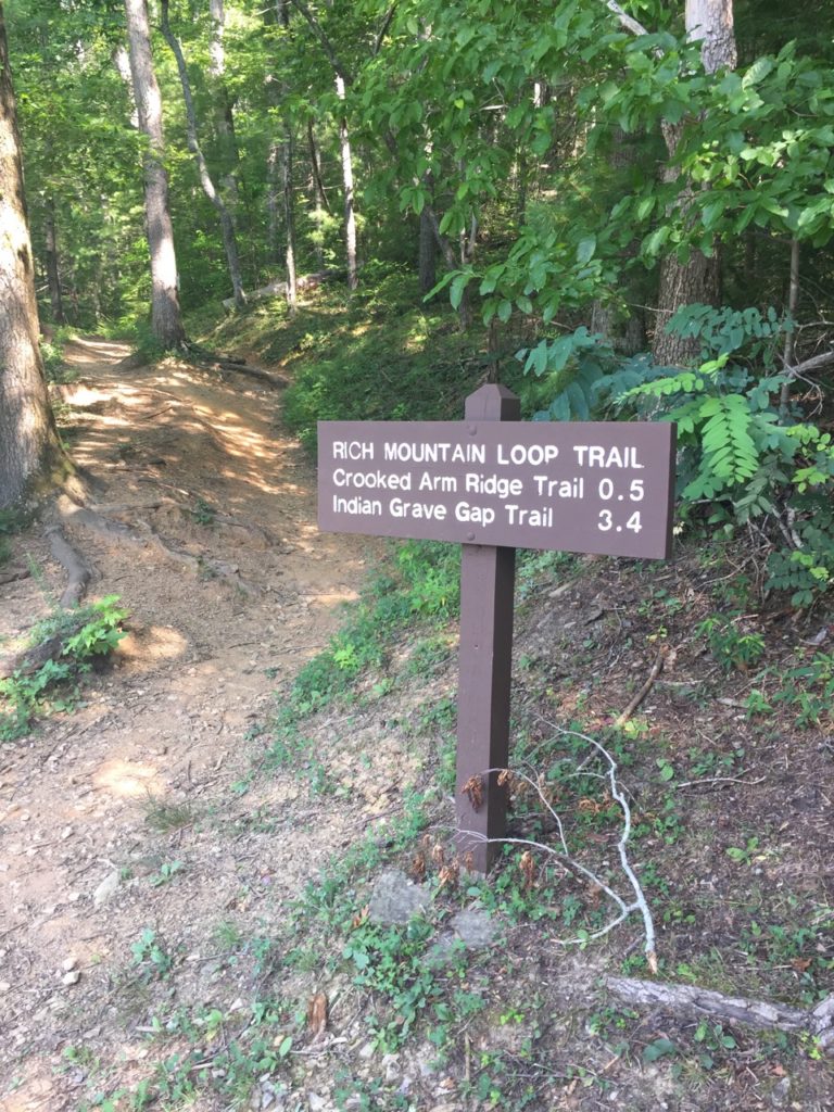
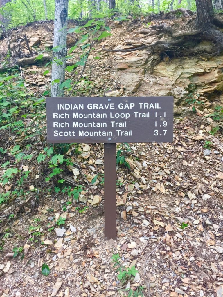
There is a book called Day Hiker’s Guide To All The Trails In The Smoky Mountains by Elizabeth Etnier which is an incredible resource to anyone attempting the 900 miler club. She has hiked every single trail and mathematically figured out how to accomplish the task with the least amount of repetitions. As a result, many of the routes require a shuttle (2 cars), or contain high elevation-gain loops. Leann and I had 3 days in the park with a goal of 30 miles, so we wanted to pace ourselves in terms of daily mileage. The first day we did page 42 # 5: Rich Mountain Loop/Crooked Arm Ridge/Indian Grave Gap plus spur/Rich Mountain Loop for a total of 10.3 miles and 2564 ft elevation gain.
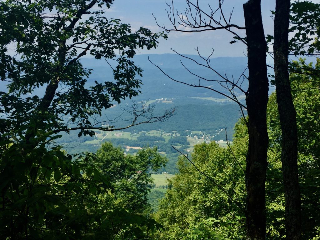
We started out at the beginning of the Cades Cove Loop and after our bear encounter walked past the John Oliver cabin and proceeded on the right fork. The trail was rocky and went uphill for days. The weather was hot, still, and humid as hell. Once we got up onto the ridge we were able to see glimpses of Cades Cove below. The 1.1 mile spur was a pointless down/up that led to the one-way Rich Mountain Road.
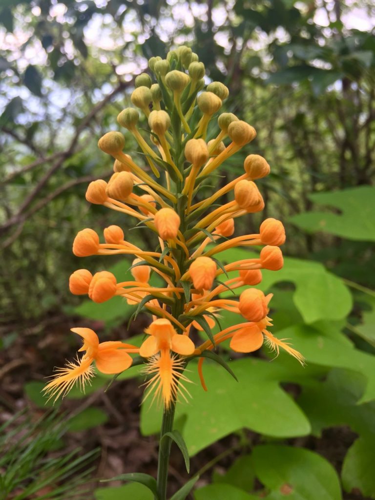
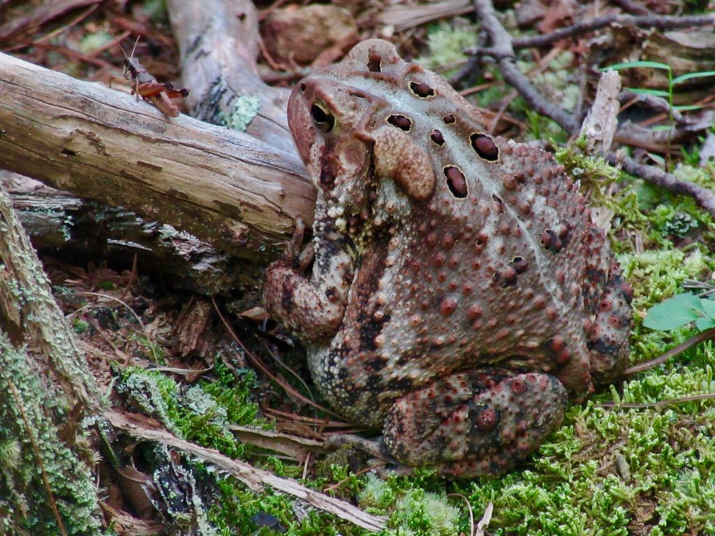
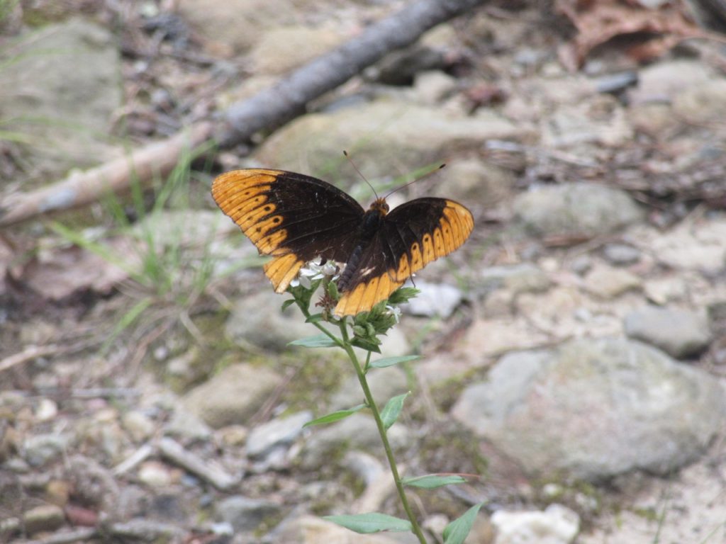
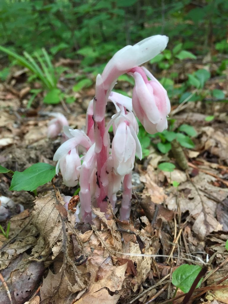
However along that dull stretch of vegetation covered trail we saw some yellow fringed orchids, several toads, including quite a hefty one who we interrupted during a mid-day snack. He was intently concentrating on a grasshopper right by his nose and we stayed to see if he would snap it up, but he was shy about eating in front of strangers. We also saw this lovely Diana butterfly.
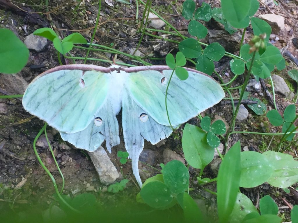
We walked the ridgeline with some small views on either side, through dense rhododendrons until we finally started going down some switchbacks which eventually led us back to our starting point where we saw a luna moth on the groud, most likely after surviving a round with a bird’s beak. If we had done this trail the opposite way, we would have had a steeper, shorter uphill at the start with a longer, sloping downhill at the end.
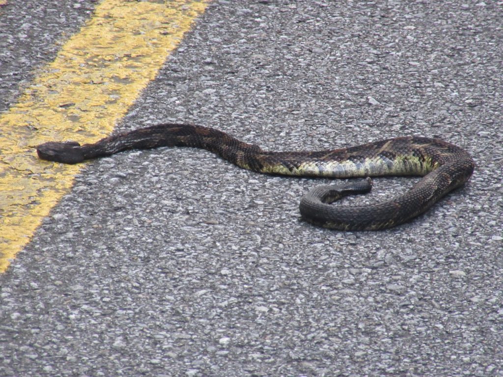
After driving the Cades Cove Loop road and grabbing some eclipse sunglasses at the visitor center, we headed back toward Gatlinburg and passed another bear high up in the woods and a timber rattler in the road. I turned around so we could get a better look at the rattler, but not before someone ran over it. We cautiously approached the snake and I zoomed in to get this picture. It was both heartbreaking and fear inducing to see this creature in the road. They are not known to be aggressive.
The next day we hiked page 26 #2: Turkey Pen Ridge/Schoolhouse Gap to Scotts Mountain trailhead and back/Schoolhouse Gap/Bote Mountain/Finley Cane for a total of 11.3 miles with 1551 ft elevation gain.
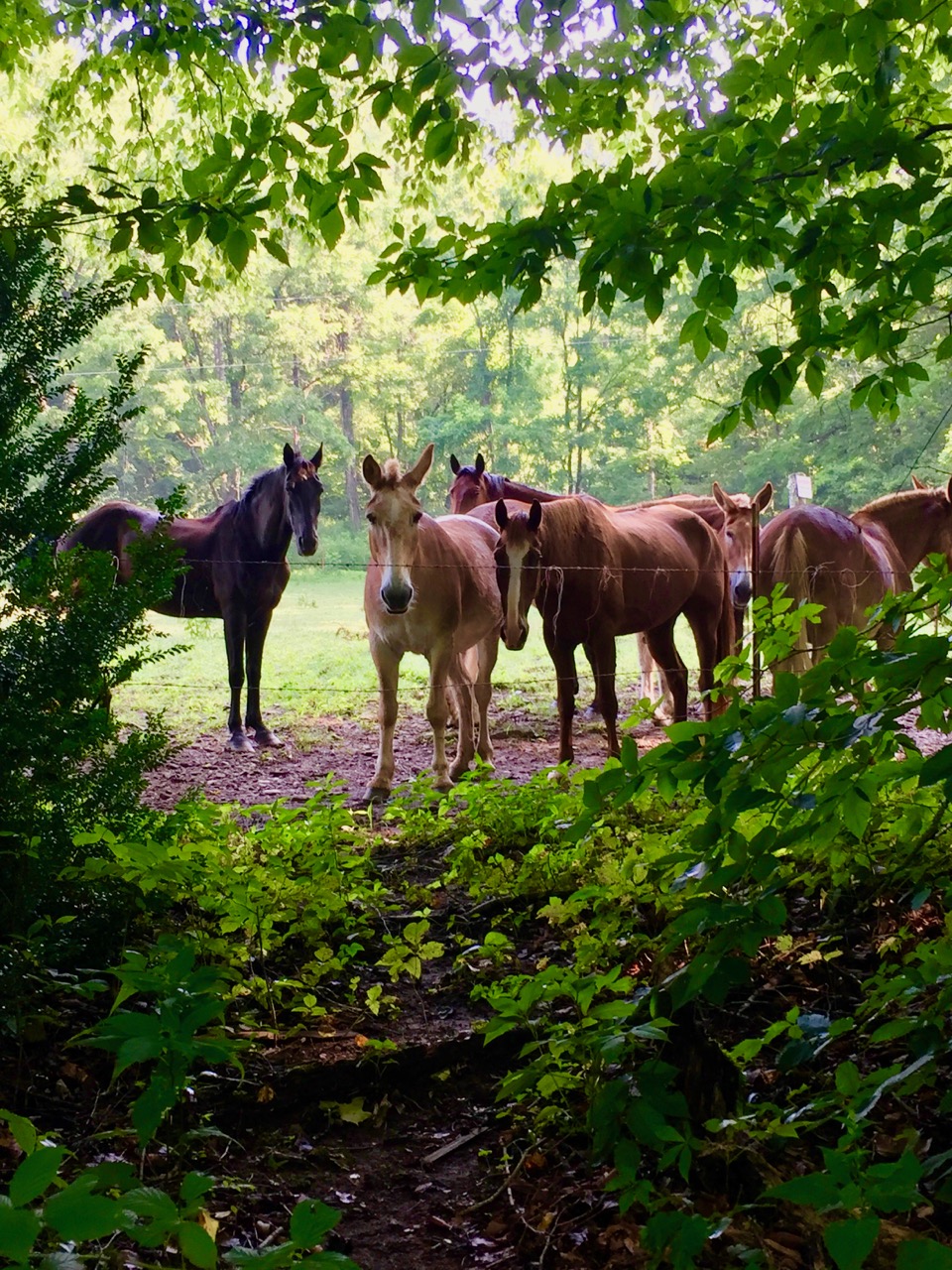
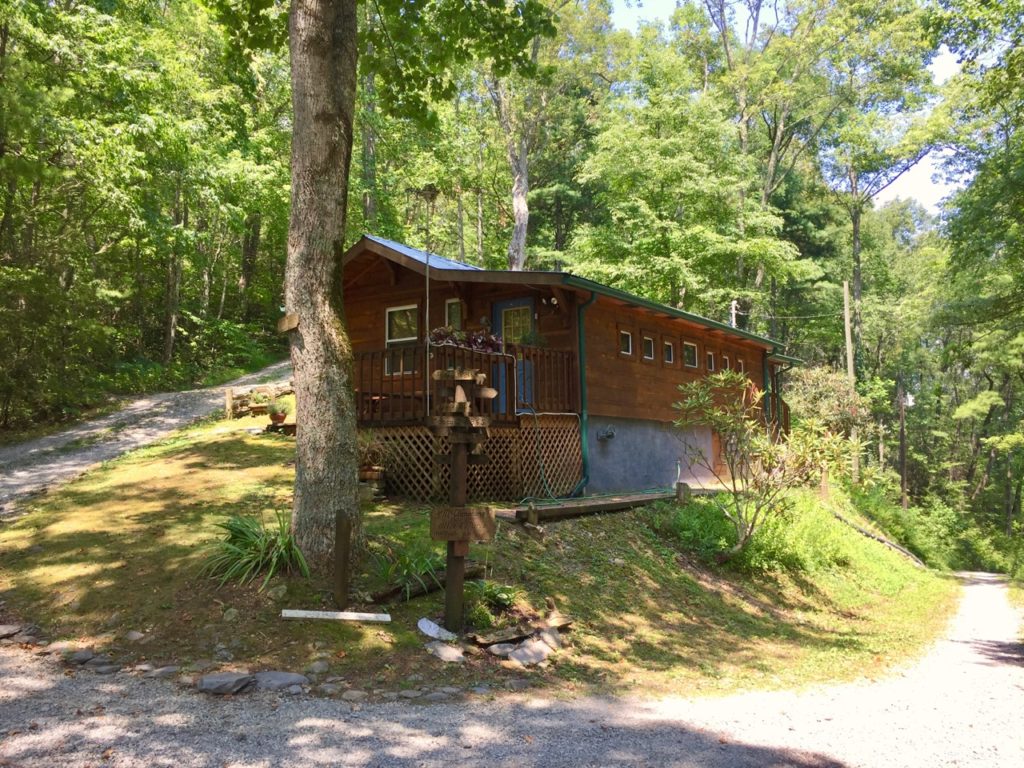
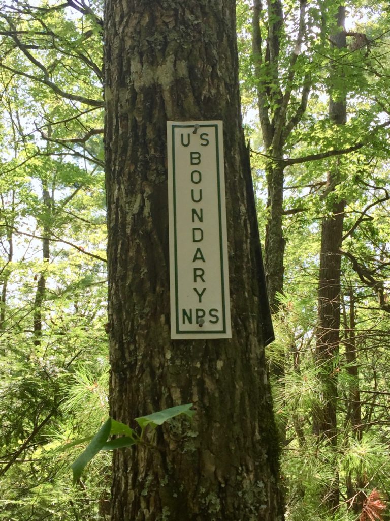
We decided to do this trail backwards, parking at the Schoolhouse Gap trailhead (across from where we’d seen the snake) and crossing the road to Bote Mountain. This trail wasn’t bad at all, but there’s not a whole lot to say about it. The trail going through some pretty woods and there is low growing vegetation on both sides which frayed our nerves. At one point we saw a baby snake, but it moved so quickly we couldn’t tell what it was. The coolest part of this hike was coming to the park boundary and happening upon this gorgeous house in the woods. I can’t think of a more ideal spot (except by the ocean, of course). There was a picnic table, swing, hammock, and swing that all looked so inviting, but there was also a cat guarding the place so we knew people could be there and refrained from making ourselves at home.
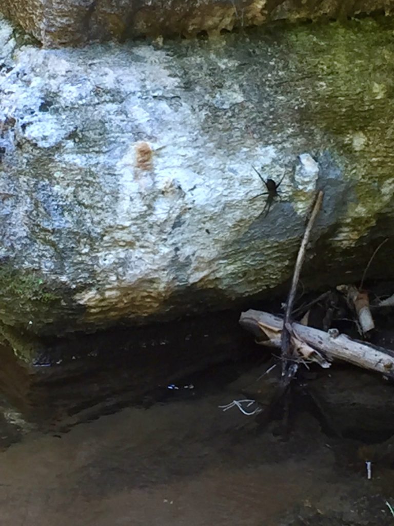
When we finished the trail we ended up soaking sore feet in the stream near the parking lot and we saw this fishing spider. This is a crappy iPhone photo because my camera was in the car and I was too scared to get close to this thing. The horrifying fact about this spider that will give you nightmares for days is that they can remain fully submerged for up to 30 minutes while stalking prey.
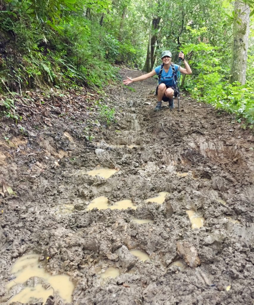
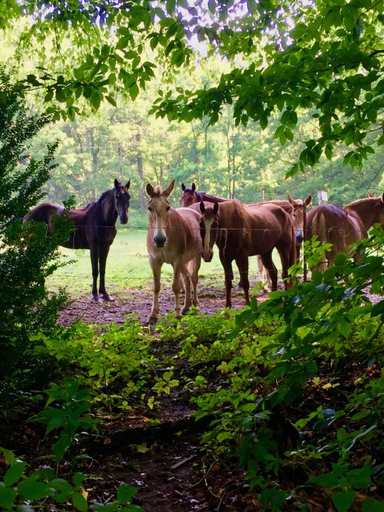
For our last day we headed down to Smokemont where we hiked the Stables/Towstring trails and made a loop through the campground. This was by far the muddiest, most horse-sh*t covered, rutted trail, and we couldn’t wait to be done with it. The Towstring trail is flat and pretty and we rain into some unexpected friends and saw large trout swimming in the river beside us.
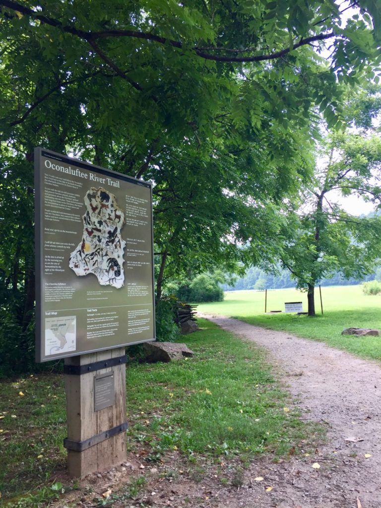
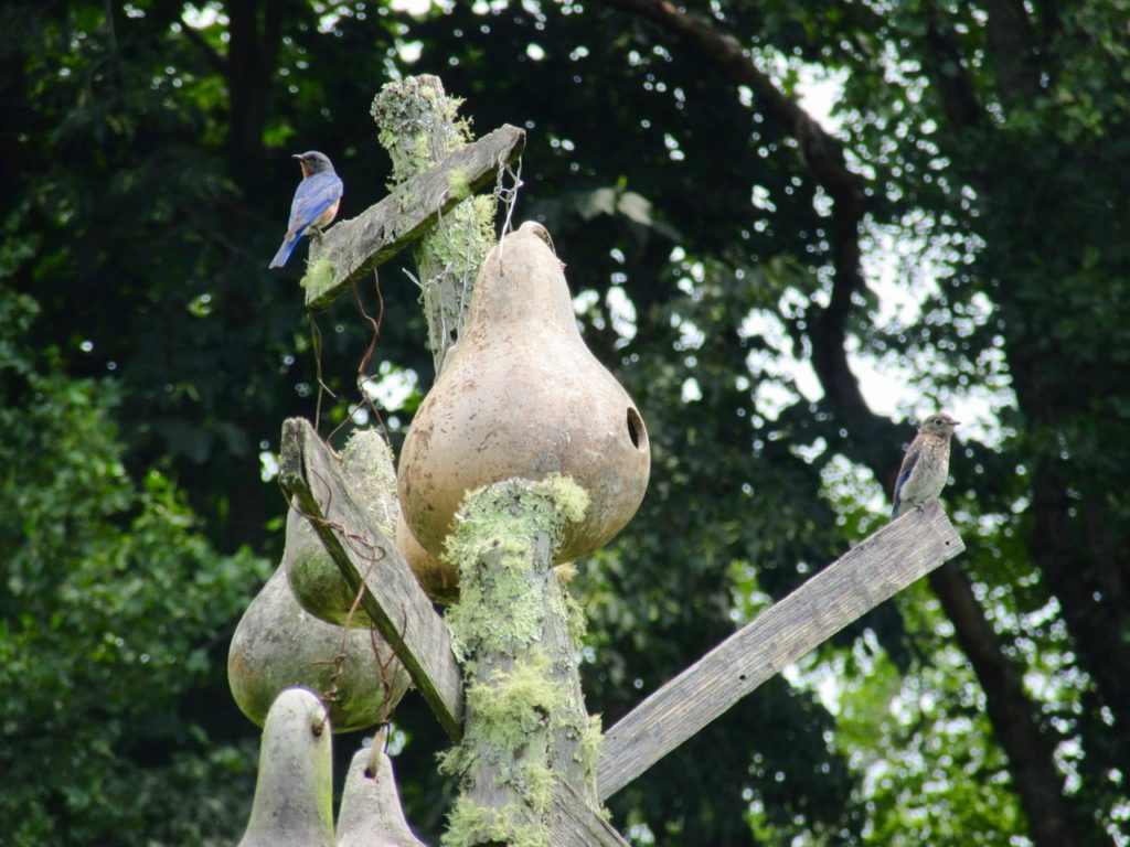
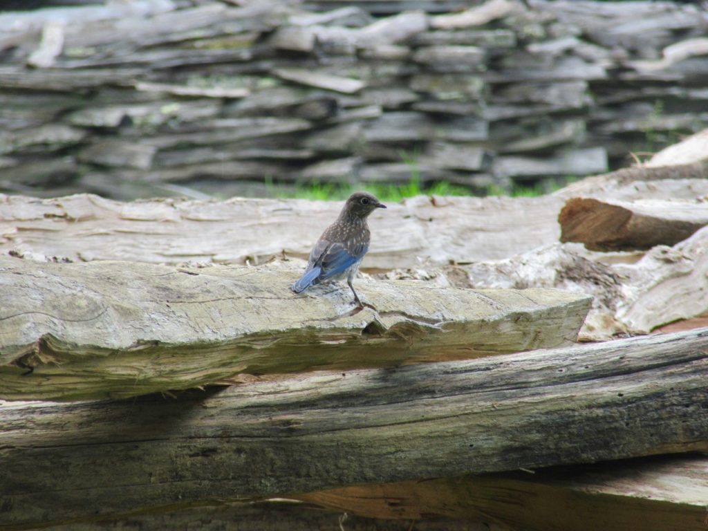
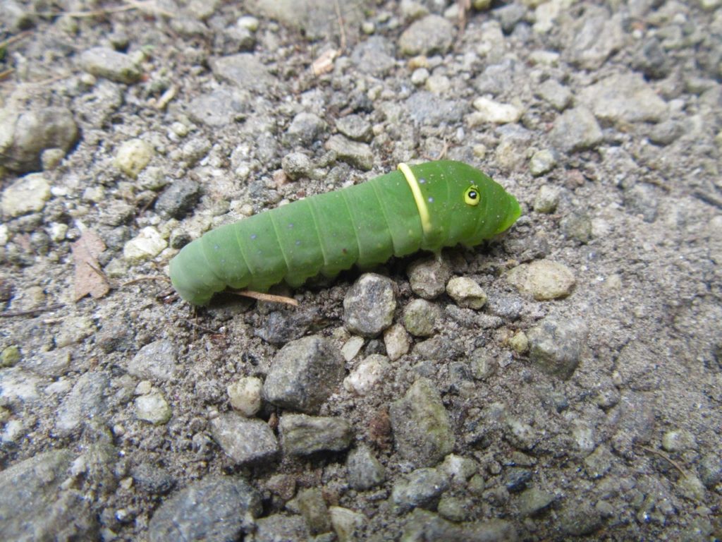
To finish our miles off before it rained, we did the Ocanaluftee River trail twice, observing a tiger swallowtail caterpillar, mushrooms, and bluebird fledglings flitting among fences at the Mountain Farm Museum.
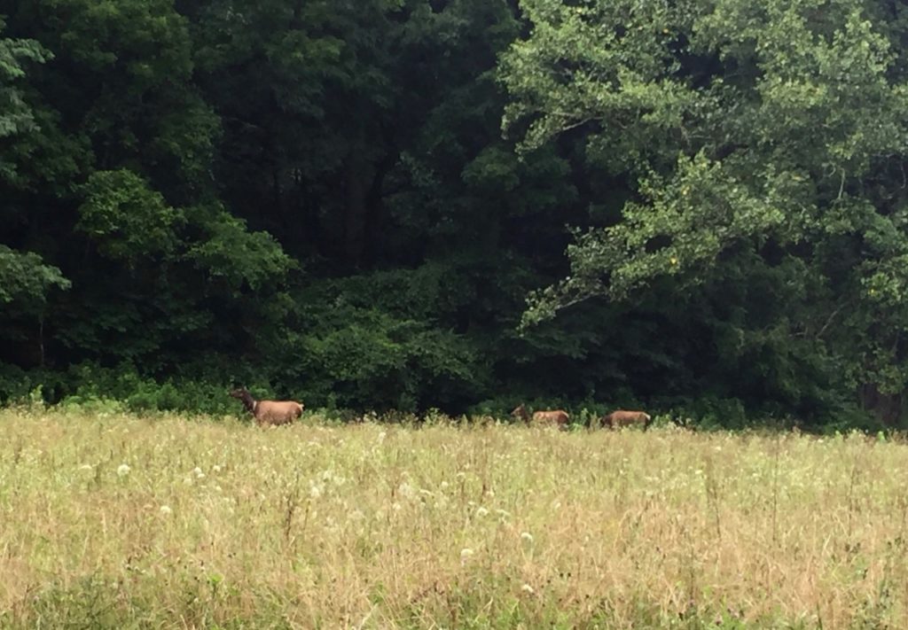
As we headed back to the north side of the park we passed a few elk coming down right on time for their afternoon romp in the lower meadows. Park rangers guarded their way with flashing blue lights, a police escort for creatures through their natural habitat.